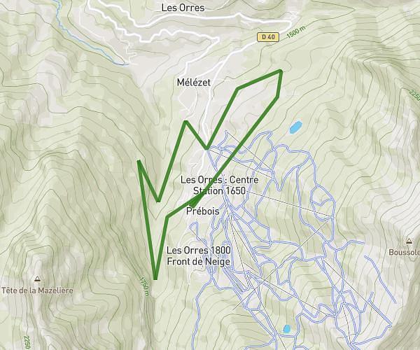
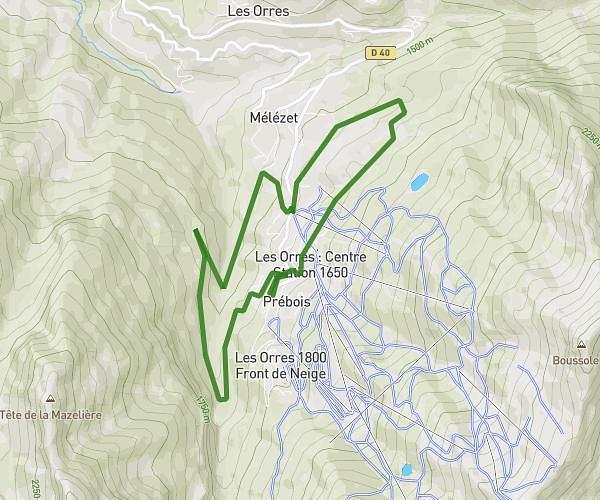
This running route covers 8.0mi starting from Crots, Hautes-Alpes. The run is a loop trail and returns to the trailhead. This run is rated as hard, expect about 1h26m to complete it. The route has an elevation gain of 591ft and an elevation loss of 594ft.
Savines
Route details
5.58mph
Speed
983 kcal
Calories burned
Loop trail
Route type
2546ft
Min altitude
2740ft
Max altitude
Route profile
591ft
Elevation gain
594ft
Elevation loss
2546ft
Min altitude
2740ft
Max altitude
How to get there
Trailhead: N 94, 05200 Crots, France
GPS coordinates of the trailhead: 44.53241, 6.43169 / 44°31'56'' N, 6°25'54'' E