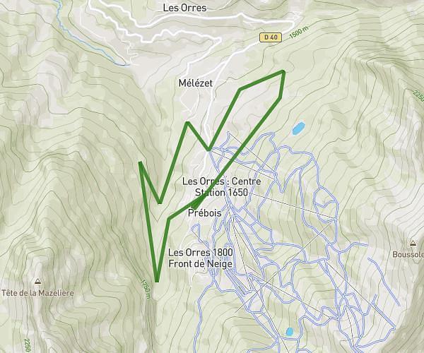
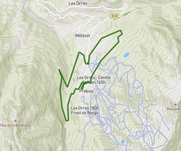
This running route covers 3.767mi starting from Allos, Alpes-de-Haute-Provence. The run is a loop trail and returns to the trailhead. This run is rated as easy, expect about 1h37s to complete it. The route has an elevation gain of 886ft and an elevation loss of 896ft.
Footing
Route details
3.73mph
Speed
693 kcal
Calories burned
Loop trail
Route type
5817ft
Min altitude
6424ft
Max altitude
Route profile
886ft
Elevation gain
896ft
Elevation loss
5817ft
Min altitude
6424ft
Max altitude
How to get there
Trailhead: 250 Chemin De La Patinoire, 04260 Allos, France
GPS coordinates of the trailhead: 44.28958, 6.5701 / 44°17'22'' N, 6°34'12'' E