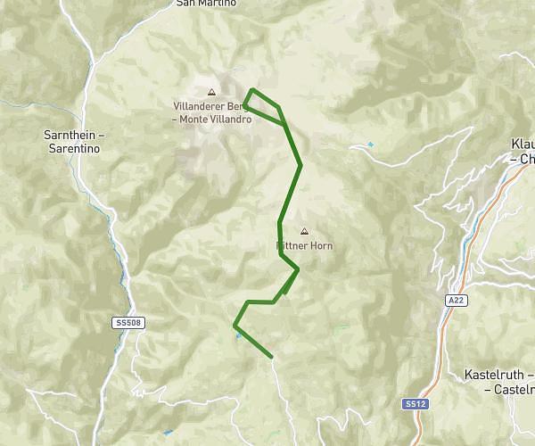
This hiking trail covers 2.201mi starting from Tires, South Tyrol. The hike does not return to the trailhead and ends near Nigerstraße - Via Nigra 6, 39056 San Giovanni di Fassa-Sèn Jan Trentino, Italy. This hike is rated as moderate, plan for about 53m7s to complete it. The route has an elevation gain of 561ft and an elevation loss of 1240ft.
von der Kölner- zur Paolinahütte
Route details
2.49mph
Speed
402 kcal
Calories burned
15.5%
Avg grade
Point to point
Route type
6942ft
Min altitude
7667ft
Max altitude
Steep climb
Route profile
561ft
Elevation gain
1240ft
Elevation loss
6942ft
Min altitude
7667ft
Max altitude
How to get there
Trailhead: Nigerstraße - Via Nigra 18, 39056 Tires South Tyrol, Italy
GPS coordinates of the trailhead: 46.44265, 11.61219 / 46°26'33'' N, 11°36'43'' E