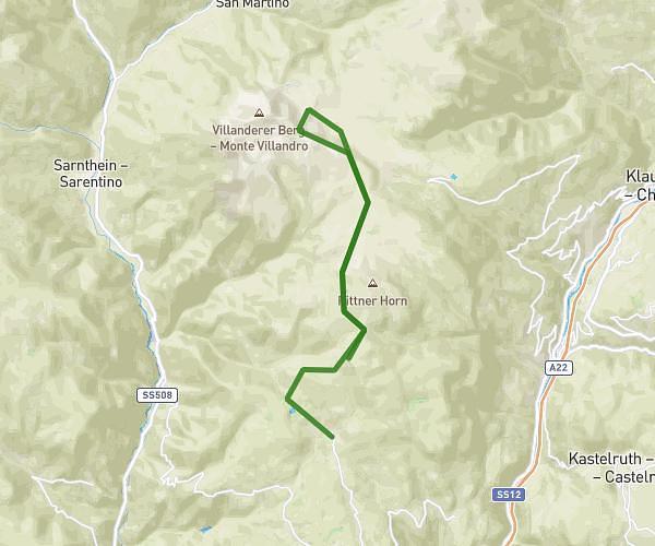
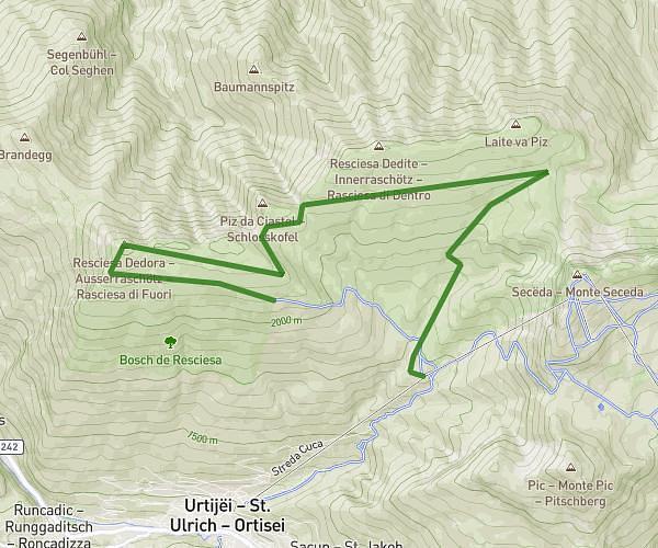
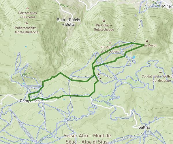
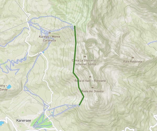
This hiking trail covers 9.463mi starting from Nova Levante, South Tyrol. The hike is a loop trail and returns to the trailhead. This hike is rated as hard, plan for about 1h42m to complete it. The route has an elevation gain of 3123ft and an elevation loss of 3127ft.
Jour 1
Route details
5.57mph
Speed
788 kcal
Calories burned
12.5%
Avg grade
Loop trail
Route type
5026ft
Min altitude
6427ft
Max altitude
Steep climb
Route profile
3123ft
Elevation gain
3127ft
Elevation loss
5026ft
Min altitude
6427ft
Max altitude
How to get there
Trailhead: Karerseestraße - Strada Carezza 77, 39056 Nova Levante South Tyrol, Italy
GPS coordinates of the trailhead: 46.407943, 11.581759 / 46°24'28'' N, 11°34'54'' E