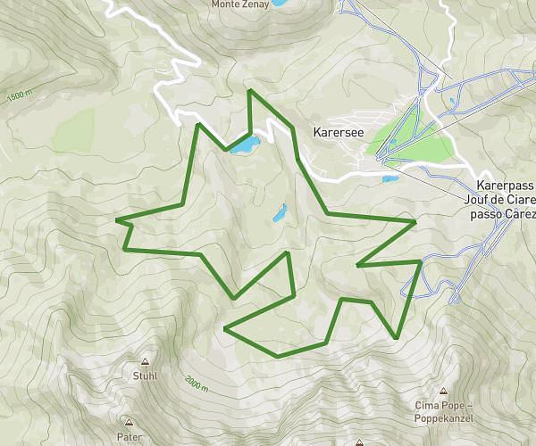
This hiking trail covers 6.917mi starting from Castelrotto, South Tyrol. The hike is a loop trail and returns to the trailhead. This hike is rated as hard, plan for about 2h21m to complete it. The route has an elevation gain of 1191ft and an elevation loss of 1201ft.
Alpe di Siusi
Route details
2.93mph
Speed
1046 kcal
Calories burned
6.5%
Avg grade
Loop trail
Route type
5774ft
Min altitude
6598ft
Max altitude
Route profile
1191ft
Elevation gain
1201ft
Elevation loss
5774ft
Min altitude
6598ft
Max altitude
How to get there
Trailhead: Compatsch 62, 39040 Castelrotto South Tyrol, Italy
GPS coordinates of the trailhead: 46.542232, 11.617622 / 46°32'32'' N, 11°37'3'' E