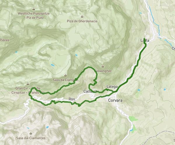
This hiking trail covers 6.729mi starting from Badia, South Tyrol. The hike does not return to the trailhead and ends near 32043 Cortina d'Ampezzo. This hike is rated as strenuous, plan for about 5h24m to complete it. The route has an elevation gain of 2159ft and an elevation loss of 1706ft.
Dolomite - Etape 6
Route details
1.24mph
Speed
2504 kcal
Calories burned
10.9%
Avg grade
Point to point
Route type
6473ft
Min altitude
7415ft
Max altitude
Steep climb
Route profile
2159ft
Elevation gain
1706ft
Elevation loss
6473ft
Min altitude
7415ft
Max altitude
How to get there
Trailhead: 39036 Badia
GPS coordinates of the trailhead: 46.55294, 11.99822 / 46°33'10'' N, 11°59'53'' E