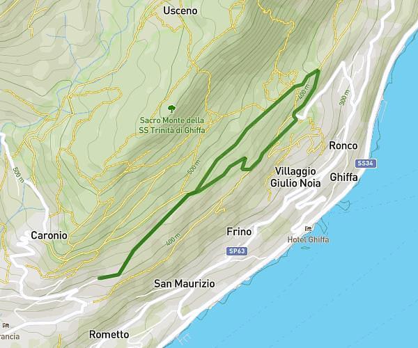
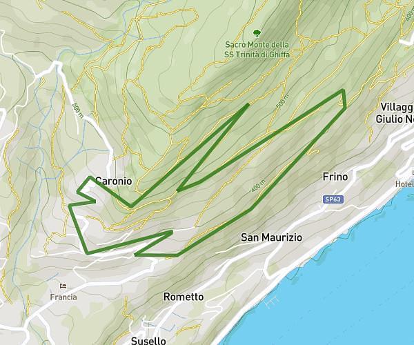
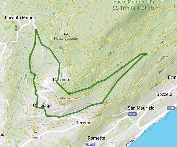
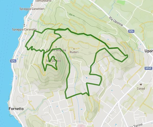
This running route covers 6.4mi starting from Angera, Varese. The run does not return to the trailhead and ends near Via Mincio 8, 21021 Angera Varese, Italy. This run is rated as moderate, expect about 1h2m to complete it. The route has an elevation gain of 351ft and an elevation loss of 335ft.
Angera Barza-al contrario
Route details
6.2mph
Speed
709 kcal
Calories burned
Point to point
Route type
679ft
Min altitude
794ft
Max altitude
Route profile
351ft
Elevation gain
335ft
Elevation loss
679ft
Min altitude
794ft
Max altitude
How to get there
Trailhead: Via Milano 4, 21021 Angera Varese, Italy
GPS coordinates of the trailhead: 45.7731, 8.59257 / 45°46'23'' N, 8°35'33'' E