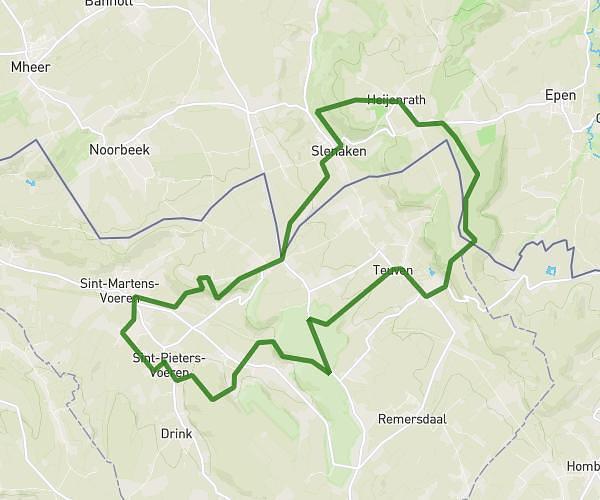
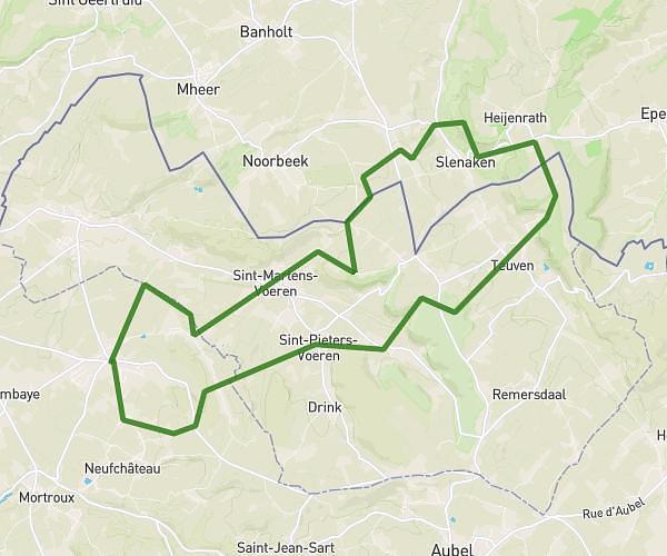
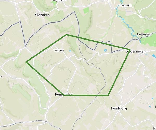
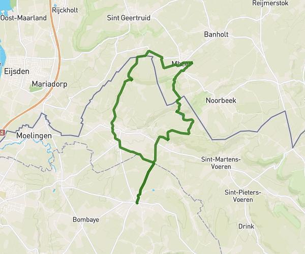
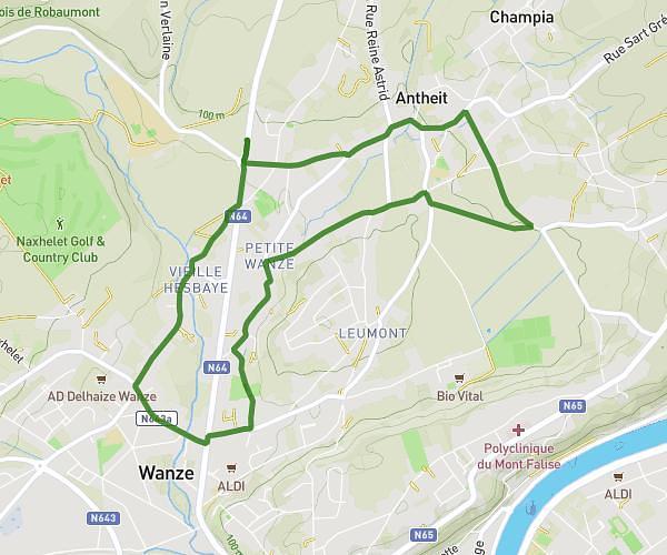
This running route covers 9.34mi starting from Liège, Liege. The run is a loop trail and returns to the trailhead. This run is rated as hard, expect about 1h30m to complete it. The route has an elevation gain of 0ft and an elevation loss of 39ft.
15km
Route details
6.23mph
Speed
1029 kcal
Calories burned
Loop trail
Route type
207ft
Min altitude
246ft
Max altitude
Route profile
0ft
Elevation gain
39ft
Elevation loss
207ft
Min altitude
246ft
Max altitude
How to get there
Trailhead: Rue Des Augustins 49, 4000 Liège, Liege, Belgium
GPS coordinates of the trailhead: 50.63529, 5.56442 / 50°38'7'' N, 5°33'51'' E