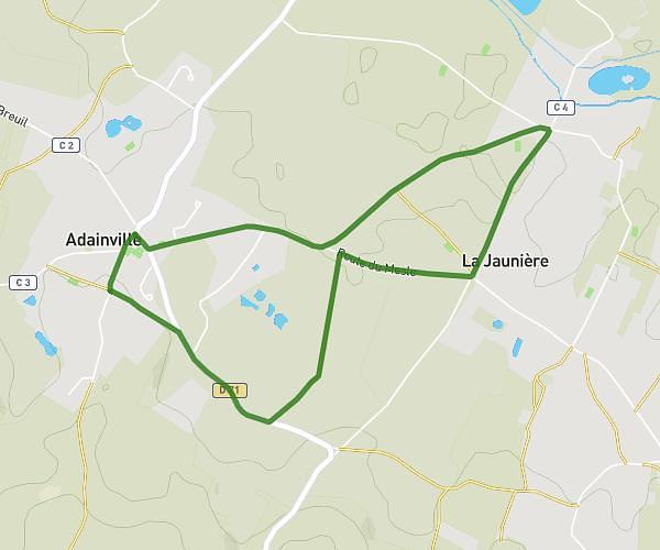
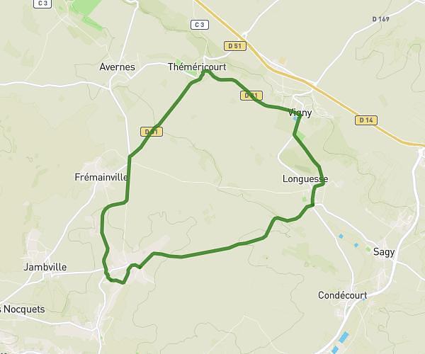
This cycling route covers 8.037mi starting from Arnouville-lès-Mantes, Yvelines. The ride is a loop trail and returns to the trailhead. This route is rated as moderate, plan for about 58m to complete it. The route has an elevation gain of 433ft and an elevation loss of 436ft.
Sortie vélo
Route details
514 kcal
Calories burned
2.0%
Avg grade
Loop trail
Route type
312ft
Min altitude
482ft
Max altitude
Route profile
433ft
Elevation gain
436ft
Elevation loss
312ft
Min altitude
482ft
Max altitude
How to get there
Trailhead: 10 Place De L'église, 78790 Arnouville-lès-Mantes, France
GPS coordinates of the trailhead: 48.910885, 1.730611 / 48°54'39'' N, 1°43'50'' E