MapPlanner
2.837mi
Distance
9m7s
Duration
18.64mph
Speed
+125ft
Elevation gain
-125ft
Elevation loss
Easy
Level

Adainville

Route details

81 kcal
Calories burned
1.7%
Avg grade
Loop trail
Route type
384ft
Min altitude
469ft
Max altitude

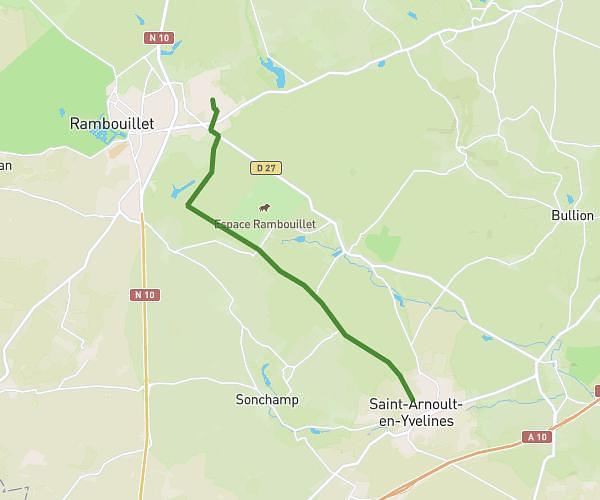
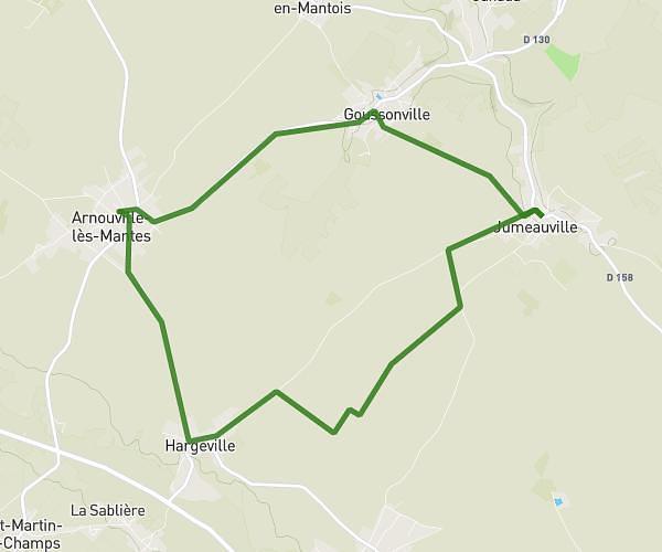
This cycling route covers 2.837mi starting from Adainville, Yvelines. The ride is a loop trail and returns to the trailhead. This route is rated as easy, plan for about 9m7s to complete it. The route has an elevation gain of 125ft and an elevation loss of 125ft.

Route profile

125ft
Elevation gain
125ft
Elevation loss
384ft
Min altitude
469ft
Max altitude

How to get there

Trailhead: 2 Route De Grandchamp, 78113 Adainville, France

GPS coordinates of the trailhead: 48.72252, 1.653 / 48°43'21'' N, 1°39'10'' E

Caution: May Cross Private Property

This route may pass through or near private property. Always respect posted signs, obtain permission where required, and follow local trespassing laws. MapPlanner does not guarantee public access along any route.

Safety Notice

Trail and road conditions may change without notice due to weather, construction, or other factors. Always verify current conditions before heading out. You are responsible for your own safety — follow local signage, obey traffic laws, and use your best judgment on the trail.