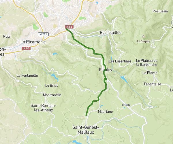
This running route covers 12.209mi starting from Cellieu, Loire. The run does not return to the trailhead and ends near M 106, 42320 La Grand-Croix. This run is rated as strenuous, expect about 2h30m to complete it. The route has an elevation gain of 43ft and an elevation loss of 476ft.
Semi
Route details
4.88mph
Speed
1715 kcal
Calories burned
Point to point
Route type
948ft
Min altitude
1381ft
Max altitude
Route profile
43ft
Elevation gain
476ft
Elevation loss
948ft
Min altitude
1381ft
Max altitude
How to get there
Trailhead: Route De Couttange, 42320 Cellieu
GPS coordinates of the trailhead: 45.51266, 4.55837 / 45°30'45'' N, 4°33'30'' E