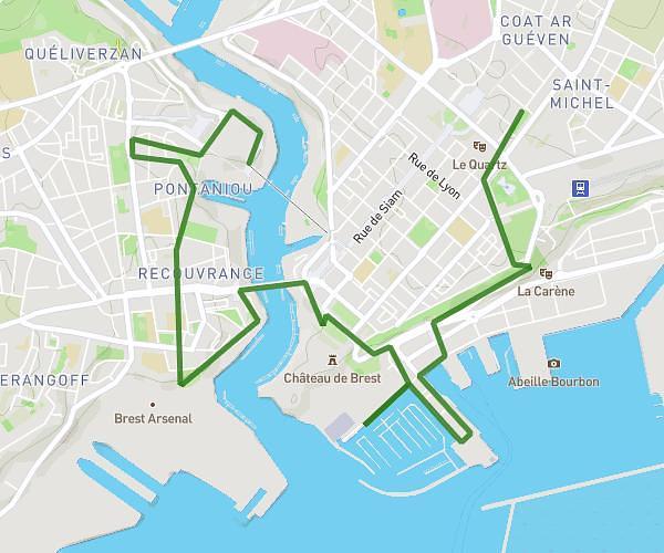
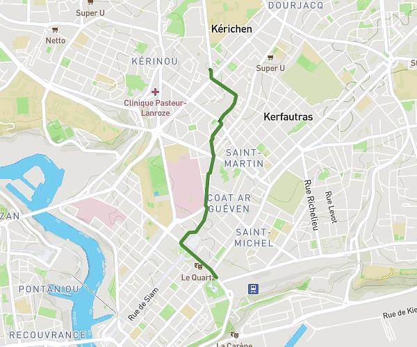
This walking route covers 1.566mi starting from Guilers, Finistère. The walk is a loop trail and returns to the trailhead. This walk is rated as easy, plan for about 34m to complete it. The route has an elevation gain of 121ft and an elevation loss of 121ft.
Quartier
Route details
21:42/mi
Pace
139 kcal
Calories burned
Loop trail
Route type
269ft
Min altitude
315ft
Max altitude
Route profile
121ft
Elevation gain
121ft
Elevation loss
269ft
Min altitude
315ft
Max altitude
How to get there
Trailhead: 31 Rue Victor Ségalen, 29820 Guilers, France
GPS coordinates of the trailhead: 48.422722, -4.54886 / 48°25'21'' N, 4°32'55'' W