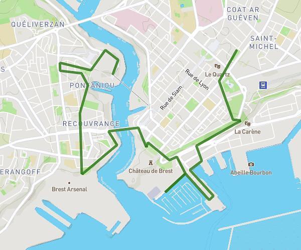
This walking route covers 4.939mi starting from Guipavas, Finistère. The walk is a loop trail and returns to the trailhead. This walk is rated as moderate, plan for about 1h46m to complete it. The route has an elevation gain of 423ft and an elevation loss of 427ft.
Marche 14/10/2024
Route details
21:27/mi
Pace
433 kcal
Calories burned
Loop trail
Route type
7ft
Min altitude
213ft
Max altitude
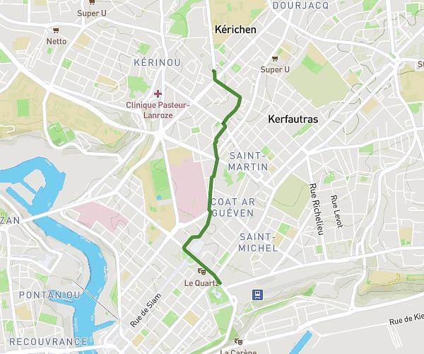
Route profile
423ft
Elevation gain
427ft
Elevation loss
7ft
Min altitude
213ft
Max altitude
How to get there
Trailhead: 142 Boulevard De Coataudon, 29490 Guipavas, France
GPS coordinates of the trailhead: 48.41391, -4.44471 / 48°24'50'' N, 4°26'40'' W