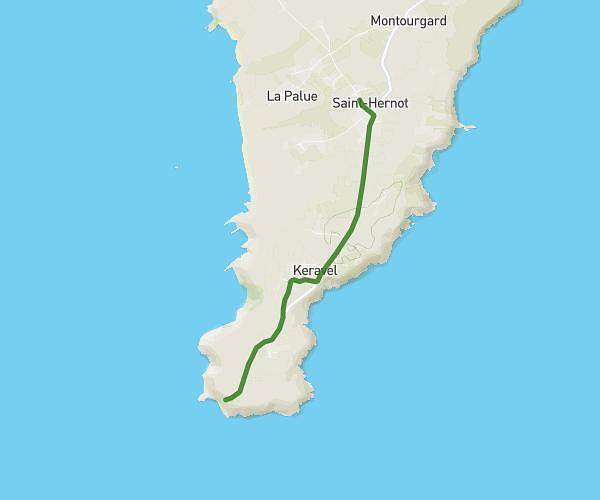
This walking route covers 13.395mi starting from Saint-Nic, Finistère. The walk does not return to the trailhead and ends near 1 Impasse Vauban, 29160 Crozon, France. This walk is rated as strenuous, plan for about 4h47m to complete it. The route has an elevation gain of 1234ft and an elevation loss of 1027ft.
Etape 5 - GR 34
Route details
21:25/mi
Pace
1172 kcal
Calories burned
Point to point
Route type
7ft
Min altitude
272ft
Max altitude
Route profile
1234ft
Elevation gain
1027ft
Elevation loss
7ft
Min altitude
272ft
Max altitude
How to get there
Trailhead: 5 Rue De La Plage, 29550 Saint-Nic, France
GPS coordinates of the trailhead: 48.195845, -4.30169 / 48°11'45'' N, 4°18'6'' W