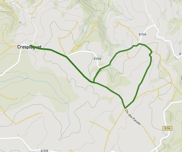
This running route covers 3.07mi starting from Bozouls, Aveyron. The run is a loop trail and returns to the trailhead. This run is rated as easy, expect about 33m to complete it. The route has an elevation gain of 217ft and an elevation loss of 217ft.
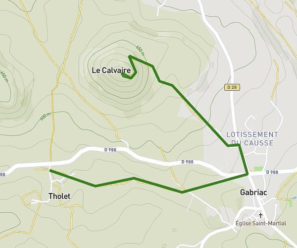
Gavernac long
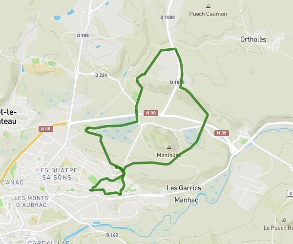
Route details
5.58mph
Speed
377 kcal
Calories burned
Loop trail
Route type
1808ft
Min altitude
1936ft
Max altitude
Route profile
217ft
Elevation gain
217ft
Elevation loss
1808ft
Min altitude
1936ft
Max altitude
How to get there
Trailhead: Voie Verte De Bertholène À Espalion, 12340 Bozouls, France
GPS coordinates of the trailhead: 44.47066, 2.73245 / 44°28'14'' N, 2°43'56'' E