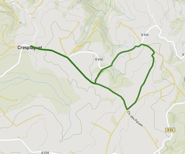
This running route covers 1.591mi starting from Onet-le-Château, Aveyron. The run is a loop trail and returns to the trailhead. This run is rated as easy, expect about 12m48s to complete it. The route has an elevation gain of 154ft and an elevation loss of 154ft.
Tour de Vabre
Route details
7.46mph
Speed
146 kcal
Calories burned
Loop trail
Route type
1831ft
Min altitude
1923ft
Max altitude
Route profile
154ft
Elevation gain
154ft
Elevation loss
1831ft
Min altitude
1923ft
Max altitude
How to get there
Trailhead: 211 Allée Du Parc, 12850 Onet-le-Château, France
GPS coordinates of the trailhead: 44.401287, 2.562851 / 44°24'4'' N, 2°33'46'' E