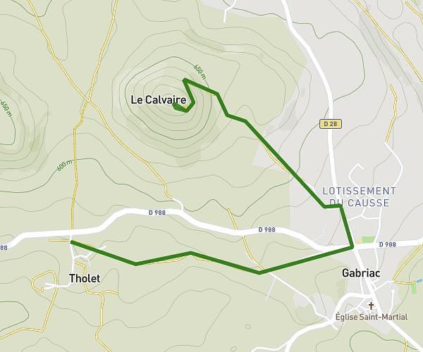
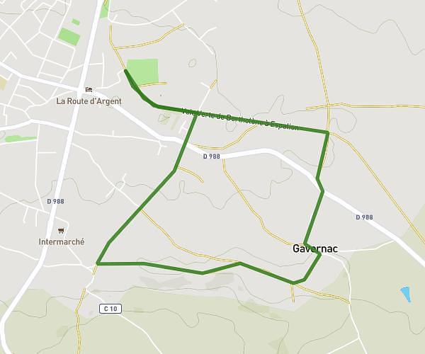
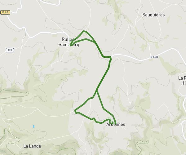
This running route covers 3.854mi starting from Pont-de-Salars, Aveyron. The run is a loop trail and returns to the trailhead. This run is rated as easy, expect about 41m21s to complete it. The route has an elevation gain of 430ft and an elevation loss of 430ft.
crespiaguet
Route details
5.59mph
Speed
473 kcal
Calories burned
Loop trail
Route type
2539ft
Min altitude
2723ft
Max altitude
Route profile
430ft
Elevation gain
430ft
Elevation loss
2539ft
Min altitude
2723ft
Max altitude
How to get there
Trailhead: 3946 Route De Carlet, 12290 Pont-de-Salars, France
GPS coordinates of the trailhead: 44.262789, 2.684194 / 44°15'46'' N, 2°41'3'' E