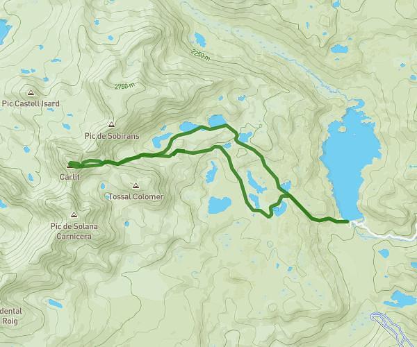
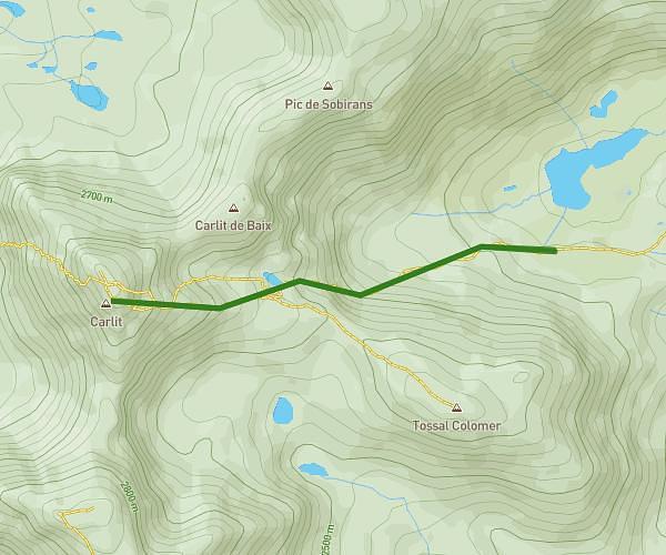
This hiking trail covers 3.78mi starting from Angoustrine-Villeneuve-des-Escaldes, Pyrénées-Orientales. The hike is a loop trail and returns to the trailhead. This hike is rated as moderate, plan for about 1h36m to complete it. The route has an elevation gain of 617ft and an elevation loss of 617ft.
Petit tour lac Bouillouses
Route details
2.36mph
Speed
707 kcal
Calories burned
6.2%
Avg grade
Loop trail
Route type
6375ft
Min altitude
6696ft
Max altitude
Route profile
617ft
Elevation gain
617ft
Elevation loss
6375ft
Min altitude
6696ft
Max altitude
How to get there
Trailhead: 66760, Angoustrine-Villeneuve-des-Escaldes, Pyrénées-Orientales, France
GPS coordinates of the trailhead: 42.55958, 1.99933 / 42°33'34'' N, 1°59'57'' E