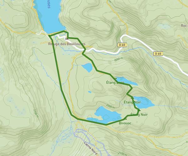
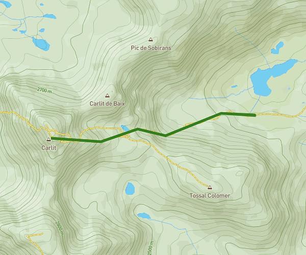
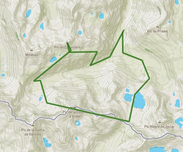
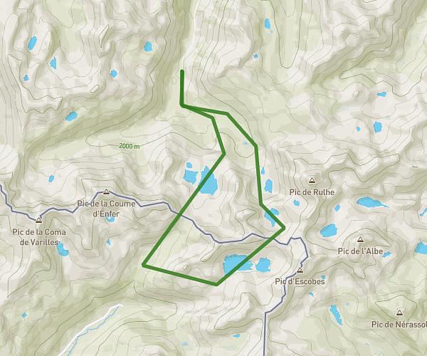
This hiking trail covers 9.57mi starting from Angoustrine-Villeneuve-des-Escaldes, Pyrénées-Orientales. The hike is a loop trail and returns to the trailhead. This hike is rated as strenuous, plan for about 5h8m to complete it. The route has an elevation gain of 2963ft and an elevation loss of 2959ft.
tour des 12 lacs + pic carlit
Route details
1.86mph
Speed
2367 kcal
Calories burned
11.7%
Avg grade
Loop trail
Route type
6614ft
Min altitude
9449ft
Max altitude
High altitude
Steep climb
Route profile
2963ft
Elevation gain
2959ft
Elevation loss
6614ft
Min altitude
9449ft
Max altitude
How to get there
Trailhead: 66760, Angoustrine-Villeneuve-des-Escaldes, Pyrénées-Orientales, France
GPS coordinates of the trailhead: 42.55973, 1.99941 / 42°33'35'' N, 1°59'57'' E