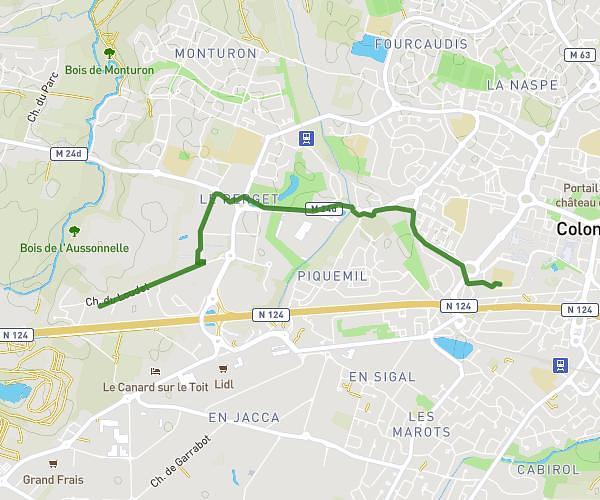
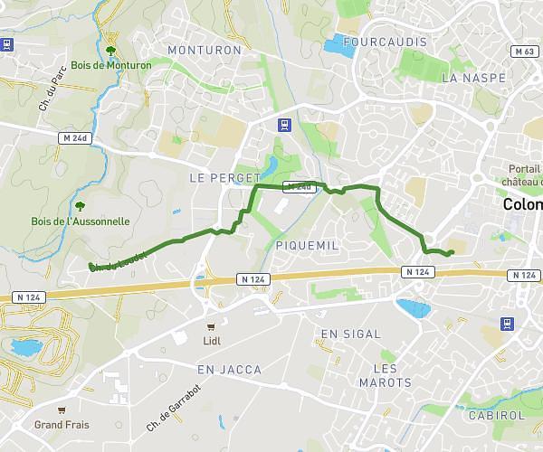
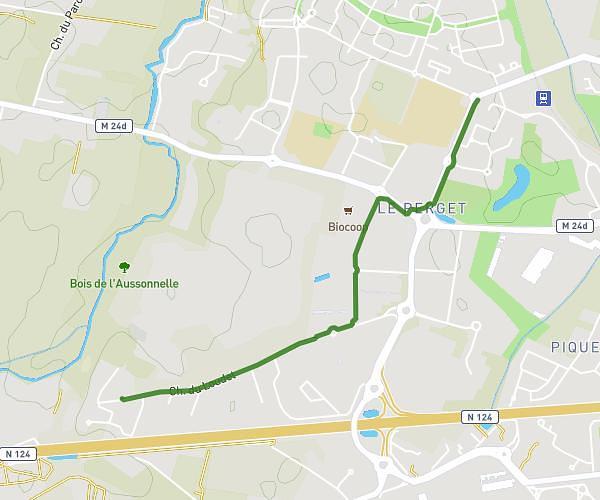
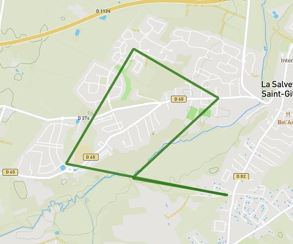
This walking route covers 29.718mi starting from L'Isle-Jourdain, Gers. The walk does not return to the trailhead and ends near 64 Passage De La Motte, 32600 Auradé, France. This walk is rated as strenuous, plan for about 2h34m to complete it. The route has an elevation gain of 131ft and an elevation loss of 49ft.
AURADé 2025
Route details
5:11/mi
Pace
629 kcal
Calories burned
Point to point
Route type
509ft
Min altitude
627ft
Max altitude
Route profile
131ft
Elevation gain
49ft
Elevation loss
509ft
Min altitude
627ft
Max altitude
How to get there
Trailhead: 2594a Route De Lombez, 32600 L'Isle-Jourdain, France
GPS coordinates of the trailhead: 43.58699, 1.05102 / 43°35'13'' N, 1°3'3'' E