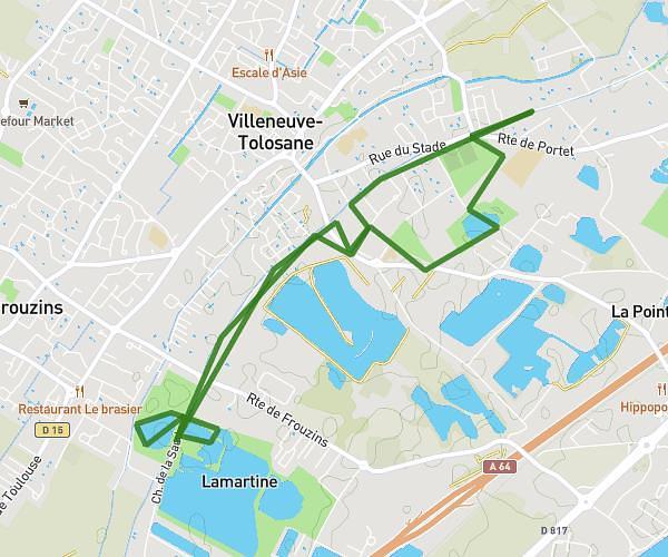
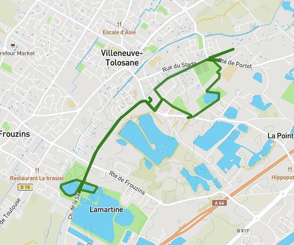
This running route covers 6.376mi starting from L'Isle-Jourdain, Gers. The run does not return to the trailhead and ends near 11 Avenue De La Vierge, 32600 L'Isle-Jourdain, France. This run is rated as moderate, expect about 1h2m to complete it. The route has an elevation gain of 420ft and an elevation loss of 394ft.
centre ville lycée
Route details
6.17mph
Speed
709 kcal
Calories burned
Point to point
Route type
476ft
Min altitude
538ft
Max altitude
Route profile
420ft
Elevation gain
394ft
Elevation loss
476ft
Min altitude
538ft
Max altitude
How to get there
Trailhead: 1 Avenue Charles De Gaulle, 32600 L'Isle-Jourdain, France
GPS coordinates of the trailhead: 43.61373, 1.08344 / 43°36'49'' N, 1°5'0'' E