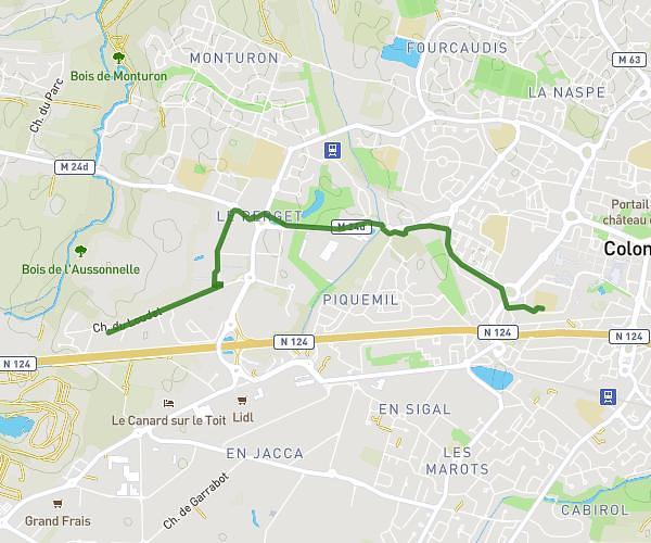
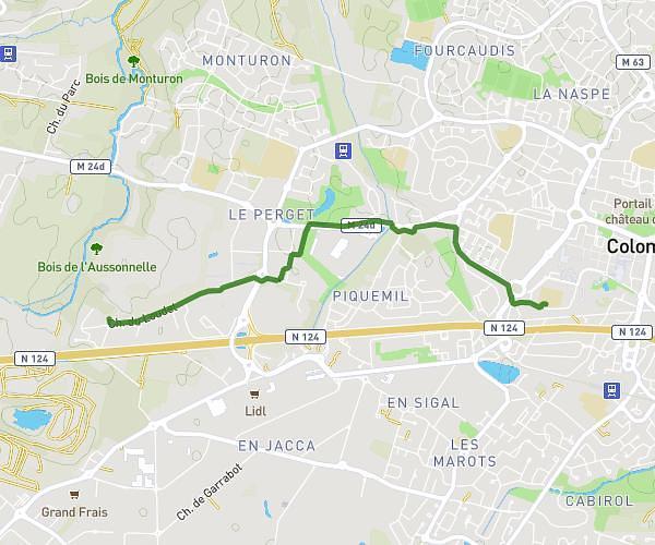
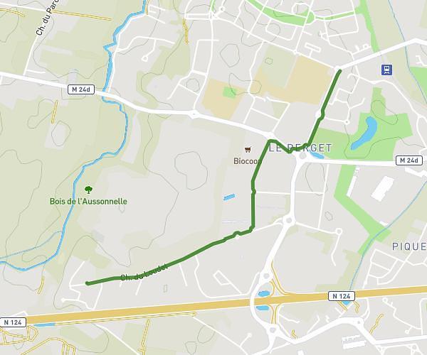
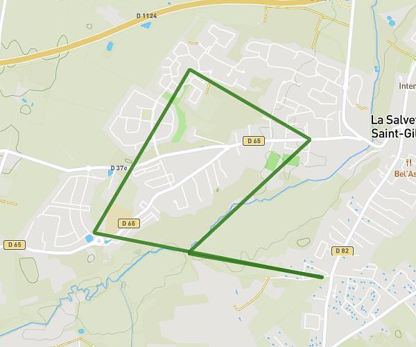
This walking route covers 15.575mi starting from Endoufielle, Gers. The walk does not return to the trailhead and ends near Chemin D'en Marchet, 32600 Endoufielle. This walk is rated as strenuous, plan for about 2h31m to complete it. The route has an elevation gain of 112ft and an elevation loss of 194ft.
endoufielle 2025
Route details
9:42/mi
Pace
617 kcal
Calories burned
Point to point
Route type
531ft
Min altitude
676ft
Max altitude
Route profile
112ft
Elevation gain
194ft
Elevation loss
531ft
Min altitude
676ft
Max altitude
How to get there
Trailhead: Route Du Brana, 32600 Endoufielle
GPS coordinates of the trailhead: 43.57233, 1.03609 / 43°34'20'' N, 1°2'9'' E