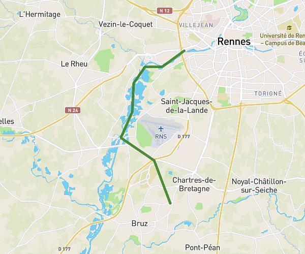
This running route covers 3.124mi starting from Bain-de-Bretagne, Ille-et-Vilaine. The run does not return to the trailhead and ends near 9 Rue Des Tanneries, 35470 Bain-de-Bretagne, France. This run is rated as easy, expect about 50m16s to complete it. The route has an elevation gain of 141ft and an elevation loss of 167ft.
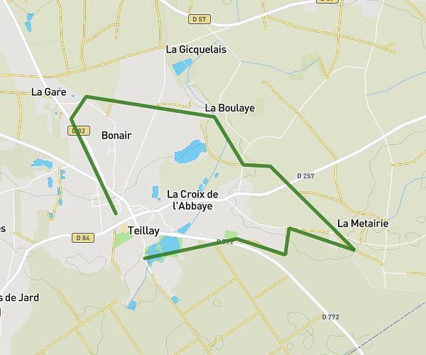
Tour du lac de Bain de Bretagne
Route details
3.73mph
Speed
575 kcal
Calories burned
Point to point
Route type
210ft
Min altitude
315ft
Max altitude
Route profile
141ft
Elevation gain
167ft
Elevation loss
210ft
Min altitude
315ft
Max altitude
How to get there
Trailhead: 2 Impasse De L'étang, 35470 Bain-de-Bretagne, France
GPS coordinates of the trailhead: 47.84007, -1.67731 / 47°50'24'' N, 1°40'38'' W