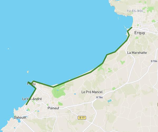
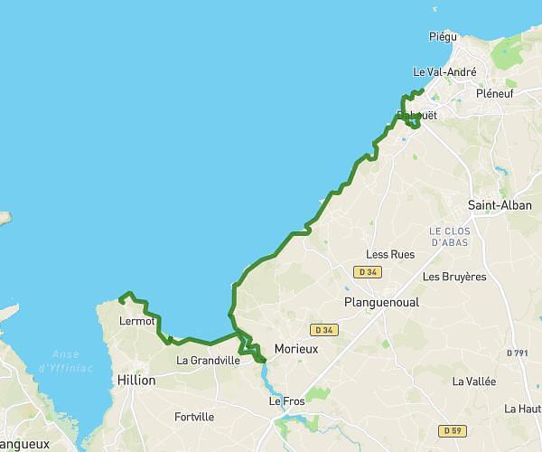
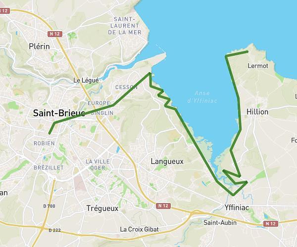
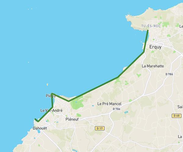
Explore this hiking route of 23.0km starting from Erquy, Côtes-d'Armor. The hike does not return to the starting point and ends near D 34, 22240 Plévenon. This hike has no defined difficulty level, plan for about 6h34m to complete it. The route has a positive elevation gain of 324m and a negative elevation loss of 266m.
étape 4
Route details
Route profile
324m
Elevation +
266m
Elevation -
3m
Min altitude
66m
Max altitude
How to get there
Route starting point: Rue Foch, 22430 Erquy
GPS coordinates of the starting point: 48.63159, -2.46535 / 48°37'53'' N, 2°27'55'' W
Calculate the time to reach the starting point from your location or an address