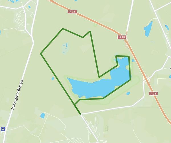
This hiking trail covers 8.636mi starting from Famars, Nord. The hike is a loop trail and returns to the trailhead. This hike is rated as easy, plan for about 2h15m to complete it. The route has an elevation gain of 361ft and an elevation loss of 361ft.
Rando 14kms
Route details
3.84mph
Speed
957 kcal
Calories burned
1.6%
Avg grade
Loop trail
Route type
138ft
Min altitude
308ft
Max altitude
Route profile
361ft
Elevation gain
361ft
Elevation loss
138ft
Min altitude
308ft
Max altitude
How to get there
Trailhead: 126 Rue Roger Salengro, 59300 Famars, France
GPS coordinates of the trailhead: 50.31717, 3.51856 / 50°19'1'' N, 3°31'6'' E