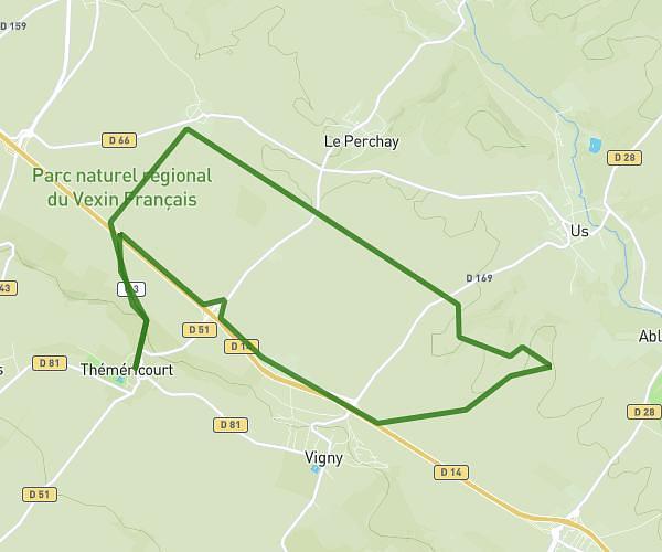
This running route covers 12.222mi starting from Osny, Val-d'Oise. The run does not return to the trailhead and ends near Rue Frédéric Joliot Curie, 95520 Osny. This run is rated as strenuous, expect about 2h11m to complete it. The route has an elevation gain of 128ft and an elevation loss of 43ft.
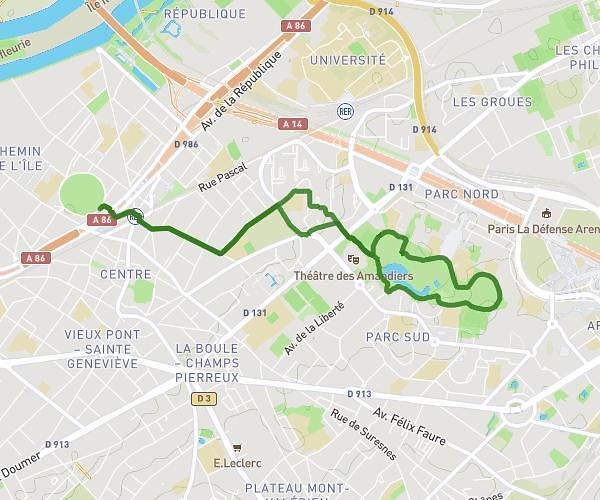
Boucle via Cergy Port Jouy La Justice
Route details
5.59mph
Speed
1499 kcal
Calories burned
Point to point
Route type
89ft
Min altitude
217ft
Max altitude
Route profile
128ft
Elevation gain
43ft
Elevation loss
89ft
Min altitude
217ft
Max altitude
How to get there
Trailhead: Chemin De Montgeroult, 95520 Osny
GPS coordinates of the trailhead: 49.06265, 2.0761 / 49°3'45'' N, 2°4'33'' E