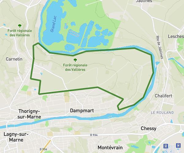
This hiking trail covers 9.575mi starting from Yerres, Essonne. The hike does not return to the trailhead and ends near 6 Chemin Du Moulin De Vaux La Reine, 77380 Combs-la-Ville, France. This hike is rated as strenuous, plan for about 1h22m to complete it. The route has an elevation gain of 909ft and an elevation loss of 846ft.
Marche 15km yerre Quincy
Route details
7.01mph
Speed
591 kcal
Calories burned
3.5%
Avg grade
Point to point
Route type
118ft
Min altitude
230ft
Max altitude
Route profile
909ft
Elevation gain
846ft
Elevation loss
118ft
Min altitude
230ft
Max altitude
How to get there
Trailhead: 125 Rue Charles De Gaulle, 91330 Yerres, France
GPS coordinates of the trailhead: 48.71547, 2.486802 / 48°42'55'' N, 2°29'12'' E