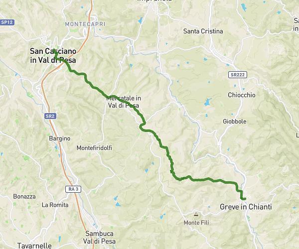
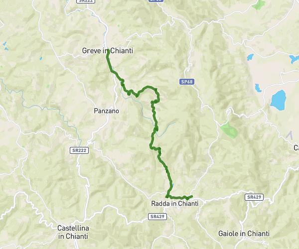
This hiking trail covers 13.94mi starting from Sesto Fiorentino, Florence. The hike is a loop trail and returns to the trailhead. This hike is rated as strenuous, plan for about 5h to complete it. The route has an elevation gain of 4134ft and an elevation loss of 4127ft.
TEST
Route details
2.79mph
Speed
2297 kcal
Calories burned
11.2%
Avg grade
Loop trail
Route type
305ft
Min altitude
2648ft
Max altitude
Steep climb
Route profile
4134ft
Elevation gain
4127ft
Elevation loss
305ft
Min altitude
2648ft
Max altitude
How to get there
Trailhead: Via Luca Della Robbia 31, 50019 Sesto Fiorentino Florence, Italy
GPS coordinates of the trailhead: 43.840148, 11.209593 / 43°50'24'' N, 11°12'34'' E