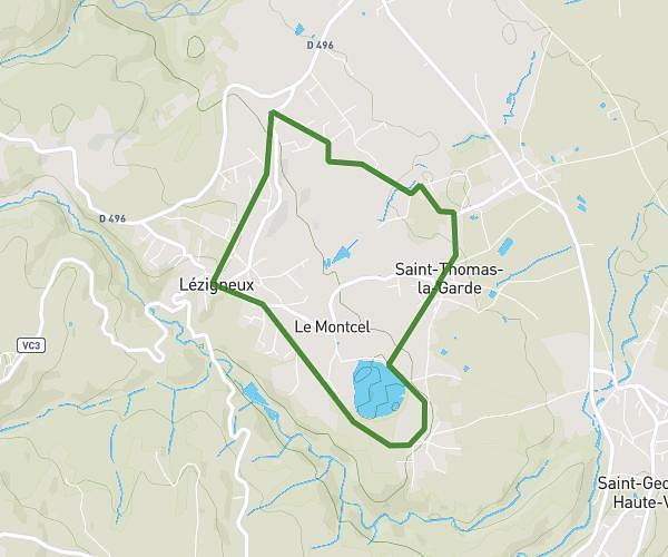
This walking route covers 5.433mi starting from Boisset-Saint-Priest, Loire. The walk is a loop trail and returns to the trailhead. This walk is rated as hard, plan for about 1h57m to complete it. The route has an elevation gain of 643ft and an elevation loss of 643ft.
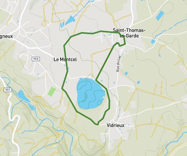
Étang de rodilion
Route details
21:33/mi
Pace
478 kcal
Calories burned
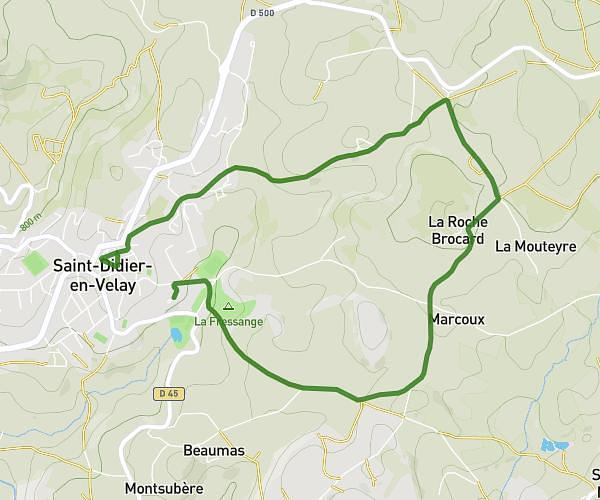
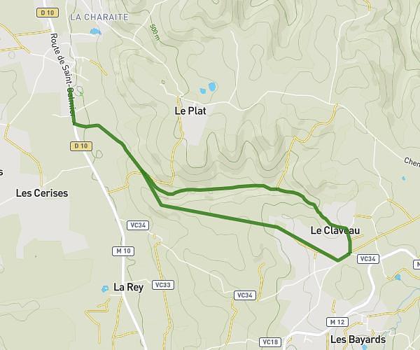
Loop trail
Route type
1319ft
Min altitude
1886ft
Max altitude
Route profile
643ft
Elevation gain
643ft
Elevation loss
1319ft
Min altitude
1886ft
Max altitude
How to get there
Trailhead: 438 Allée Du Stade, 42560 Boisset-Saint-Priest, France
GPS coordinates of the trailhead: 45.50219, 4.11324 / 45°30'7'' N, 4°6'47'' E