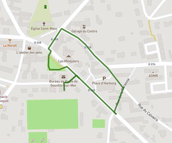
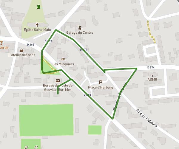
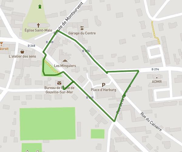
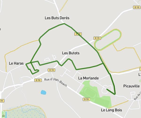
This walking route covers 0.64mi starting from Gouville-sur-Mer, Manche. The walk is a loop trail and returns to the trailhead. This walk is rated as easy, plan for about 29m to complete it. The route has an elevation gain of 16ft and an elevation loss of 16ft.
27/09/2025
Route details
45:20/mi
Pace
118 kcal
Calories burned
Loop trail
Route type
72ft
Min altitude
82ft
Max altitude
Route profile
16ft
Elevation gain
16ft
Elevation loss
72ft
Min altitude
82ft
Max altitude
How to get there
Trailhead: 2 Rue Des Frères Lacolley, 50560 Gouville-sur-Mer, France
GPS coordinates of the trailhead: 49.09642, -1.58016 / 49°5'47'' N, 1°34'48'' W