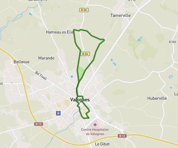
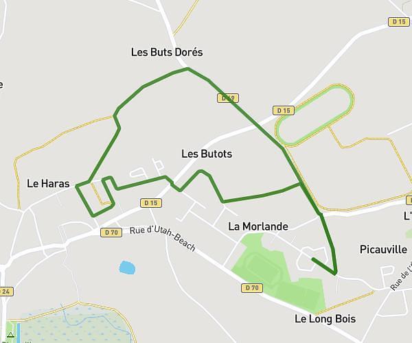
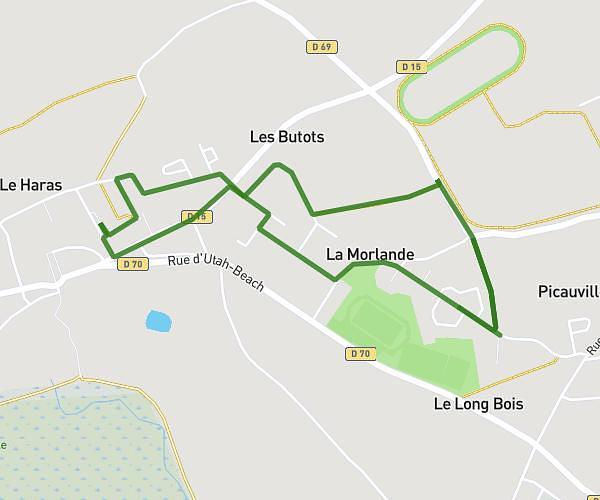
This walking route covers 2.323mi starting from Picauville, Manche. The walk is a loop trail and returns to the trailhead. This walk is rated as easy, plan for about 50m to complete it. The route has an elevation gain of 49ft and an elevation loss of 49ft.
Carrefour grande route
Route details
21:30/mi
Pace
204 kcal
Calories burned
Loop trail
Route type
62ft
Min altitude
92ft
Max altitude
Route profile
49ft
Elevation gain
49ft
Elevation loss
62ft
Min altitude
92ft
Max altitude
How to get there
Trailhead: 20 Rue Marie Lemière, 50360 Picauville, France
GPS coordinates of the trailhead: 49.37836, -1.40764 / 49°22'42'' N, 1°24'27'' W