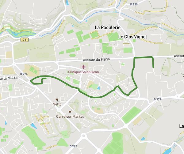
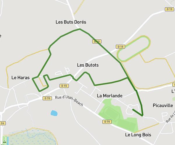
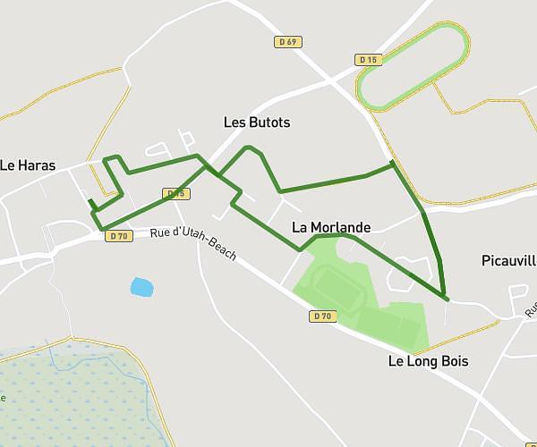
This walking route covers 16.189mi starting from Osmanville, Calvados. The walk is a loop trail and returns to the trailhead. This walk is rated as strenuous, plan for about 6h11s to complete it. The route has an elevation gain of 328ft and an elevation loss of 331ft.
Balade baie et bocage
Route details
22:15/mi
Pace
1471 kcal
Calories burned
Loop trail
Route type
-3ft
Min altitude
105ft
Max altitude
Route profile
328ft
Elevation gain
331ft
Elevation loss
-3ft
Min altitude
105ft
Max altitude
How to get there
Trailhead: 2 Rue De L'olivet, 14230 Osmanville, France
GPS coordinates of the trailhead: 49.344668, -1.086594 / 49°20'40'' N, 1°5'11'' W