MapPlanner
2.17mi
Distance
47m
Duration
21:39/mi
Pace
Easy
Level

Carrefour

Route details

21:39/mi
Pace
192 kcal
Calories burned
Loop trail
Route type
69ft
Min altitude
92ft
Max altitude

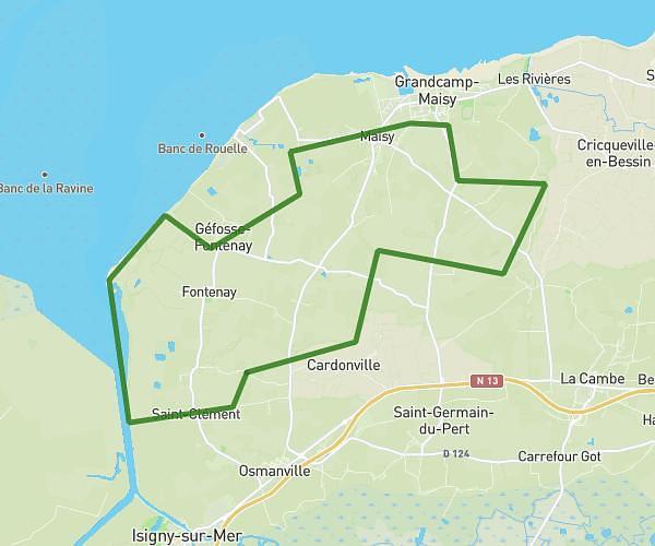
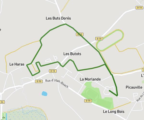
This walking route covers 2.17mi starting from Picauville, Manche. The walk is a loop trail and returns to the trailhead. This walk is rated as easy, plan for about 47m to complete it. The route has an elevation gain of 39ft and an elevation loss of 39ft.

Route profile

39ft
Elevation gain
39ft
Elevation loss
69ft
Min altitude
92ft
Max altitude

How to get there

Trailhead: Chasse Bertrand, 50360 Picauville

GPS coordinates of the trailhead: 49.37779, -1.40631 / 49°22'40'' N, 1°24'22'' W

Caution: May Cross Private Property

This route may pass through or near private property. Always respect posted signs, obtain permission where required, and follow local trespassing laws. MapPlanner does not guarantee public access along any route.

Safety Notice

Trail and road conditions may change without notice due to weather, construction, or other factors. Always verify current conditions before heading out. You are responsible for your own safety — follow local signage, obey traffic laws, and use your best judgment on the trail.