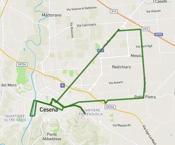
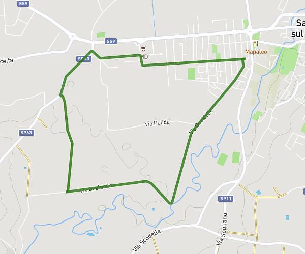
This running route covers 3.732mi starting from Savignano sul Rubicone, Forlì-Cesena. The run is a loop trail and returns to the trailhead. This run is rated as easy, expect about 40m to complete it. The route has an elevation gain of 26ft and an elevation loss of 26ft.
Corsetta
Route details
5.6mph
Speed
457 kcal
Calories burned
Loop trail
Route type
108ft
Min altitude
135ft
Max altitude
Route profile
26ft
Elevation gain
26ft
Elevation loss
108ft
Min altitude
135ft
Max altitude
How to get there
Trailhead: Via Antonello Moroni 8, 47039 Savignano sul Rubicone Forlì-Cesena, Italy
GPS coordinates of the trailhead: 44.089776, 12.390034 / 44°5'23'' N, 12°23'24'' E