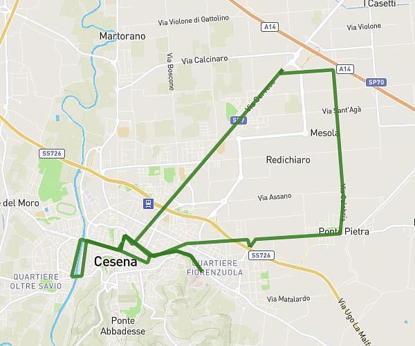
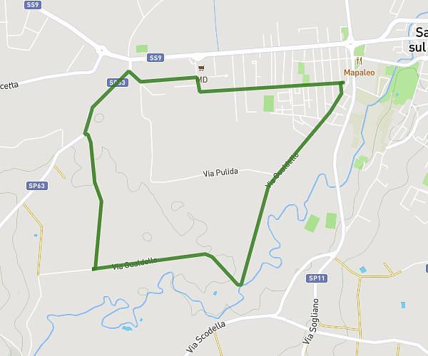
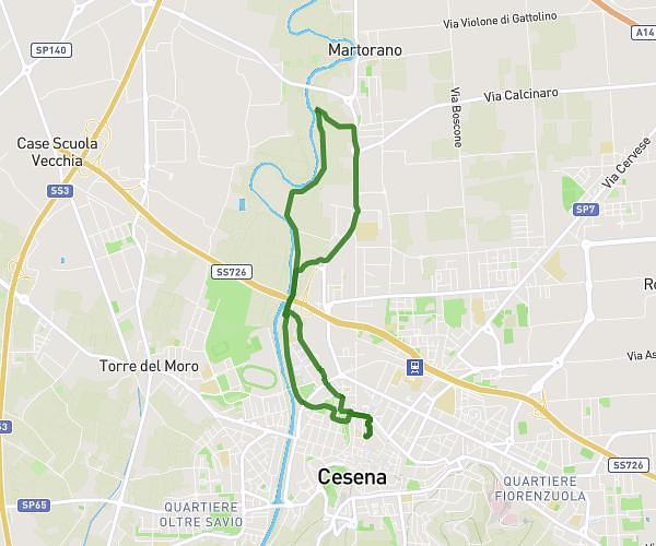
This running route covers 4.35mi starting from Forlì, Forlì-Cesena. The run does not return to the trailhead and ends near Viale Roma 246, 47121 Forlì Forlì-Cesena, Italy. This run is rated as easy, expect about 34m40s to complete it. The route has an elevation gain of 16ft and an elevation loss of 26ft.
31/08
Route details
7.53mph
Speed
396 kcal
Calories burned
Point to point
Route type
75ft
Min altitude
95ft
Max altitude
Route profile
16ft
Elevation gain
26ft
Elevation loss
75ft
Min altitude
95ft
Max altitude
How to get there
Trailhead: Viale Roma 142, 47121 Forlì Forlì-Cesena, Italy
GPS coordinates of the trailhead: 44.21384, 12.06052 / 44°12'49'' N, 12°3'37'' E