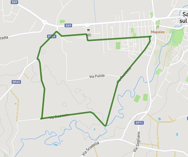
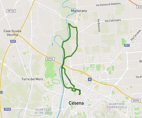
This running route covers 12.491mi starting from Cesena, Forlì-Cesena. The run is a loop trail and returns to the trailhead. This run is rated as strenuous, expect about 2h14m to complete it. The route has an elevation gain of 495ft and an elevation loss of 495ft.
20km
Route details
5.59mph
Speed
1532 kcal
Calories burned
Loop trail
Route type
52ft
Min altitude
167ft
Max altitude
Route profile
495ft
Elevation gain
495ft
Elevation loss
52ft
Min altitude
167ft
Max altitude
How to get there
Trailhead: Via Cesare Montalti 49, 47521 Cesena Forlì-Cesena, Italy
GPS coordinates of the trailhead: 44.139779, 12.24402 / 44°8'23'' N, 12°14'38'' E