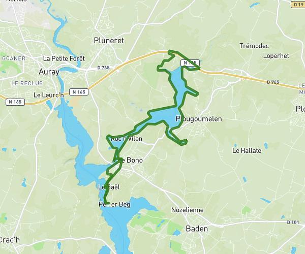
This running route covers 3.623mi starting from Vannes, Morbihan. The run does not return to the trailhead and ends near 167 Route De Nantes, 56860 Séné, France. This run is rated as easy, expect about 38m52s to complete it. The route has an elevation gain of 13ft and an elevation loss of 72ft.
lol2
Route details
5.59mph
Speed
444 kcal
Calories burned
Point to point
Route type
36ft
Min altitude
108ft
Max altitude
Route profile
13ft
Elevation gain
72ft
Elevation loss
36ft
Min altitude
108ft
Max altitude
How to get there
Trailhead: 135 Avenue De La Marne, 56000 Vannes, France
GPS coordinates of the trailhead: 47.660492, -2.793995 / 47°39'37'' N, 2°47'38'' W