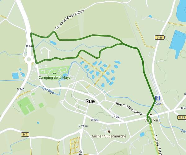
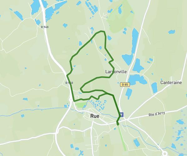
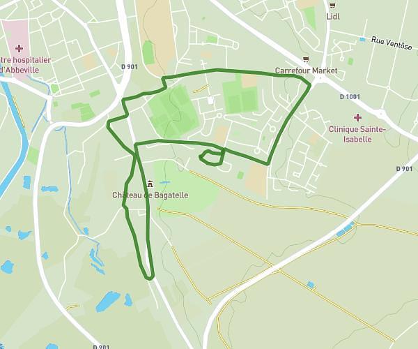
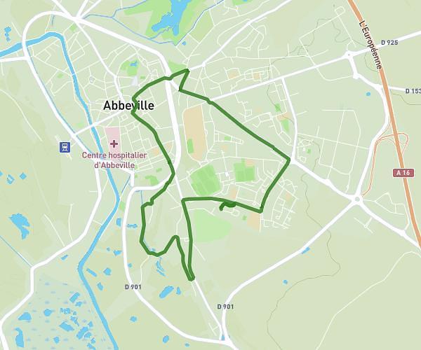
This hiking trail covers 7.223mi starting from Érondelle, Somme. The hike is a loop trail and returns to the trailhead. This hike is rated as easy, plan for about 2h15s to complete it. The route has an elevation gain of 354ft and an elevation loss of 354ft.
octobre rose erondelle
Route details
3.6mph
Speed
855 kcal
Calories burned
1.9%
Avg grade
Loop trail
Route type
16ft
Min altitude
236ft
Max altitude
Route profile
354ft
Elevation gain
354ft
Elevation loss
16ft
Min altitude
236ft
Max altitude
How to get there
Trailhead: 3 Route De Pont Rémy, 80580 Érondelle, France
GPS coordinates of the trailhead: 50.05228, 1.88601 / 50°3'8'' N, 1°53'9'' E