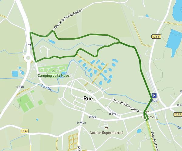
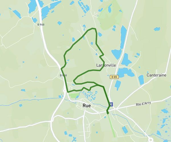
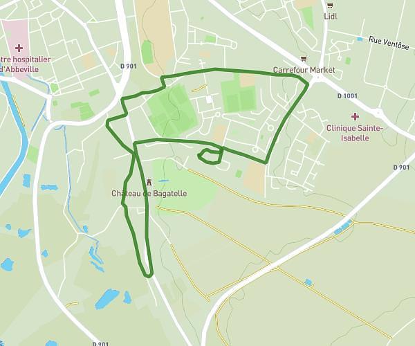
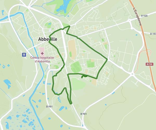
This hiking trail covers 5.832mi starting from Mareuil-Caubert, Somme. The hike does not return to the trailhead and ends near 22 Grande Rue, 80132 Mareuil-Caubert, France. This hike is rated as easy, plan for about 1h37m to complete it. The route has an elevation gain of 322ft and an elevation loss of 318ft.
octobre rose mareuil caubert
Route details
3.6mph
Speed
691 kcal
Calories burned
2.1%
Avg grade
Point to point
Route type
7ft
Min altitude
217ft
Max altitude
Route profile
322ft
Elevation gain
318ft
Elevation loss
7ft
Min altitude
217ft
Max altitude
How to get there
Trailhead: 2 Rue De Verdun, 80132 Mareuil-Caubert, France
GPS coordinates of the trailhead: 50.06509, 1.83243 / 50°3'54'' N, 1°49'56'' E