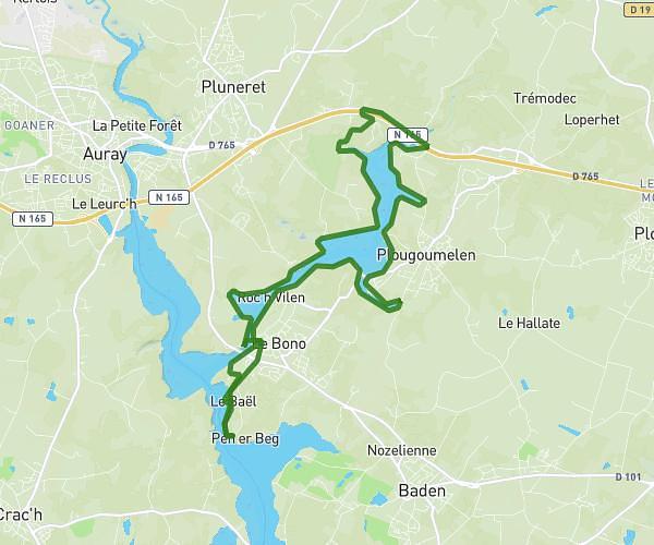
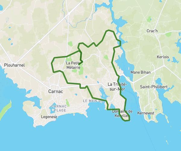
This running route covers 7.538mi starting from Arradon, Morbihan. The run is a loop trail and returns to the trailhead. This run is rated as hard, expect about 12h7m to complete it. The route has an elevation gain of 623ft and an elevation loss of 627ft.
arradon 12km-190 d+
Route details
0.62mph
Speed
8322 kcal
Calories burned
Loop trail
Route type
20ft
Min altitude
118ft
Max altitude
Route profile
623ft
Elevation gain
627ft
Elevation loss
20ft
Min altitude
118ft
Max altitude
How to get there
Trailhead: 3 Rue Doaren Molac, 56610 Arradon, France
GPS coordinates of the trailhead: 47.64364, -2.80737 / 47°38'37'' N, 2°48'26'' W