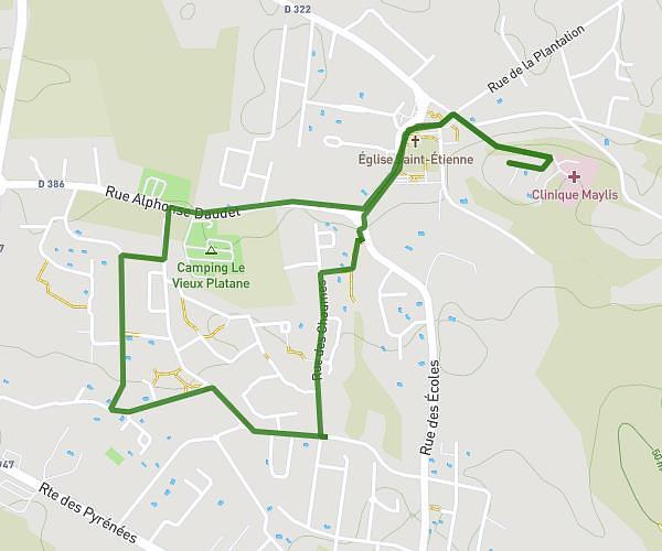
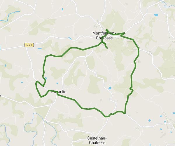
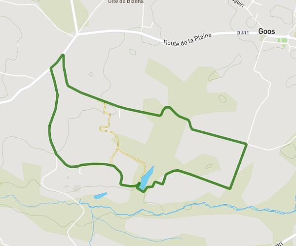
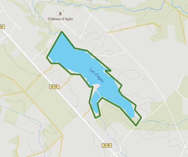
This running route covers 9.644mi starting from Orthez, Pyrénées-Atlantiques. The run does not return to the trailhead and ends near 445 Chemin Des Harbious, 64300 Orthez, France. This run is rated as hard, expect about 2h to complete it. The route has an elevation gain of 98ft and an elevation loss of 62ft.
De l'y à Biron
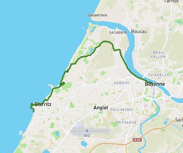
Route details
4.82mph
Speed
1372 kcal
Calories burned
Point to point
Route type
200ft
Min altitude
299ft
Max altitude
Route profile
98ft
Elevation gain
62ft
Elevation loss
200ft
Min altitude
299ft
Max altitude
How to get there
Trailhead: 6 Boulevard Du Maréchal Leclerc, 64300 Orthez, France
GPS coordinates of the trailhead: 43.49592, -0.77166 / 43°29'45'' N, 0°46'17'' W