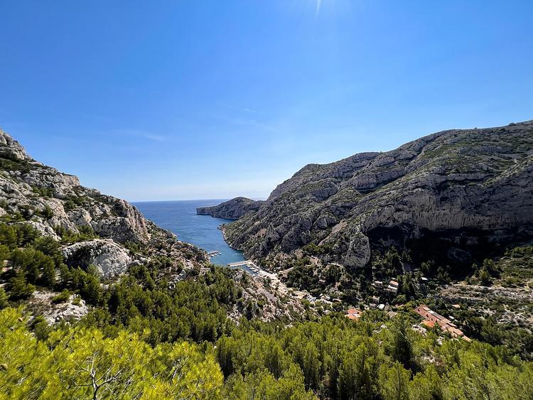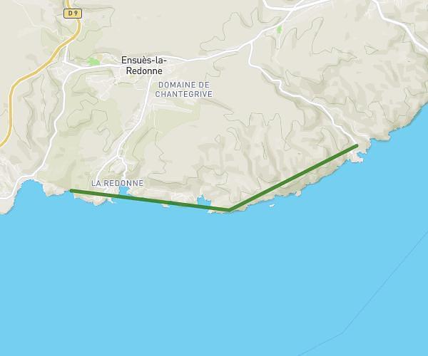
This hiking trail covers 5.337mi starting from Cassis, Bouches-du-Rhône. The hike is a loop trail and returns to the trailhead. This hike is rated as moderate, plan for about 3h to complete it. The route has an elevation gain of 1122ft and an elevation loss of 1125ft.
Description of the route by the creator
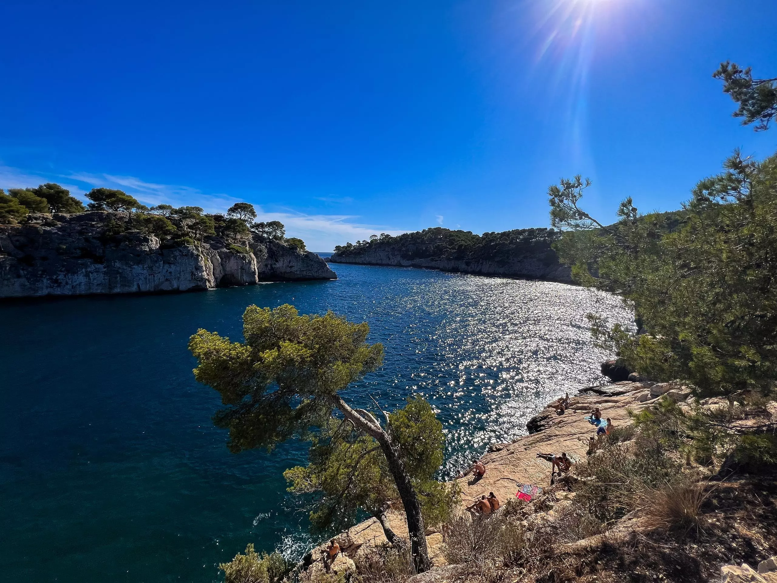
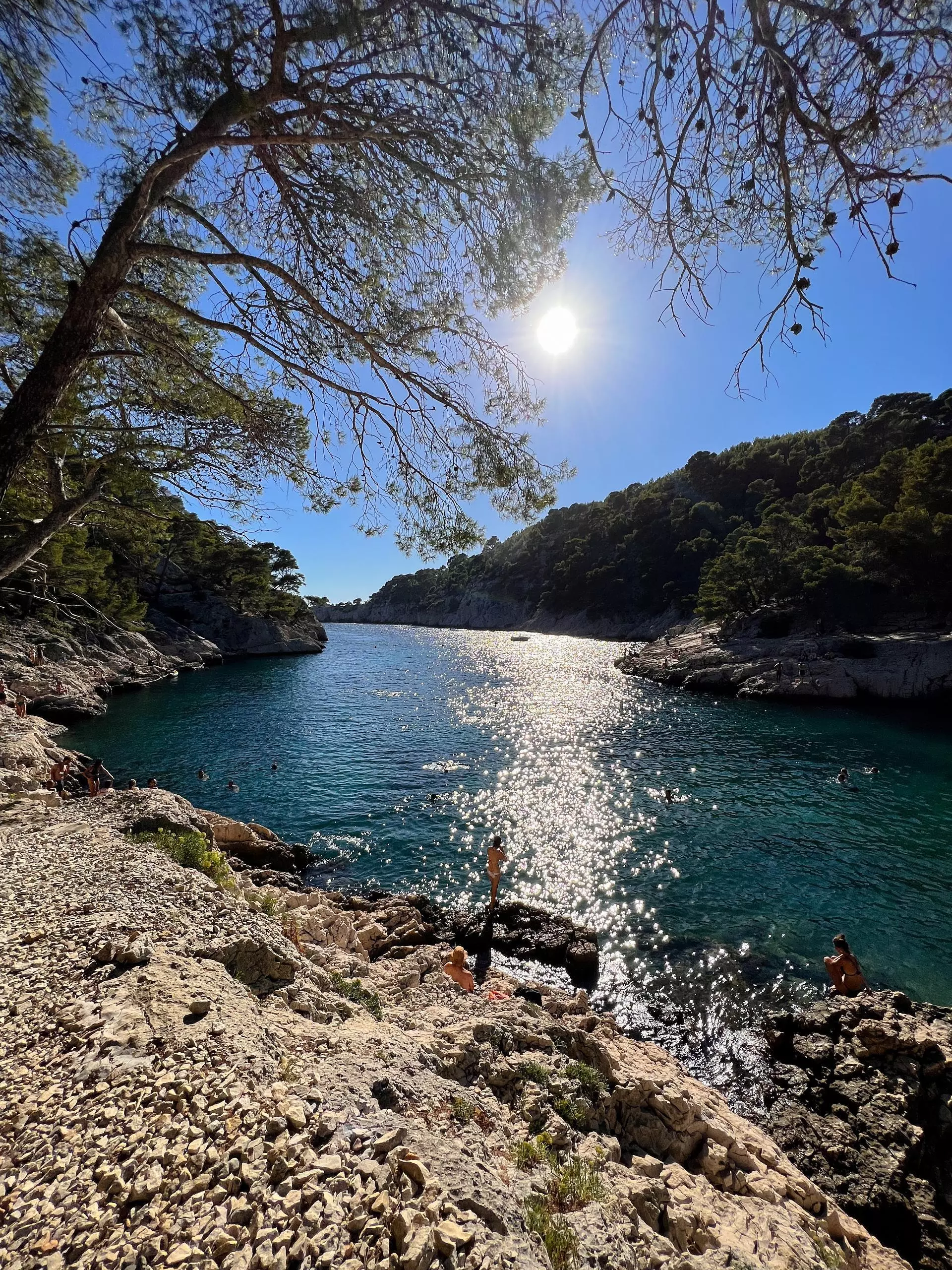
From the center of Cassis, follow the road along the sea then take the road on the right after the page of Bestouan. Continue the road until you reach the cove of Port-Miou. Follow the cove to reach the second cove of Port Pin. The walk continues to reach the top of the hill and admire the view of the En-Vau cove. Return by the shortest way to Port Pin and then the city of Cassis.