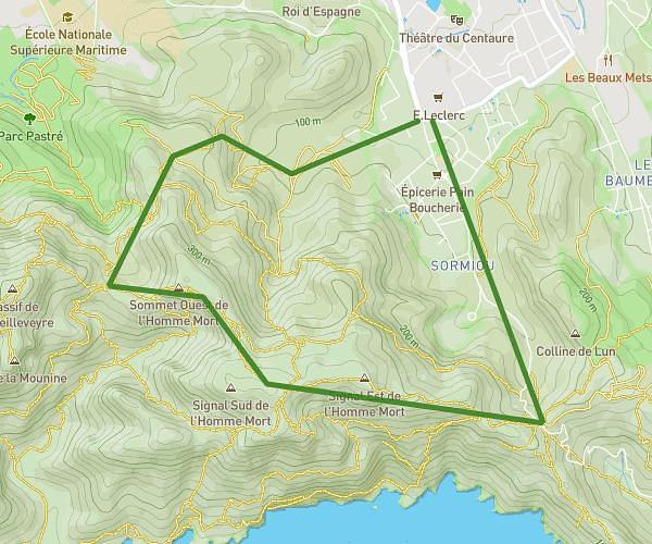
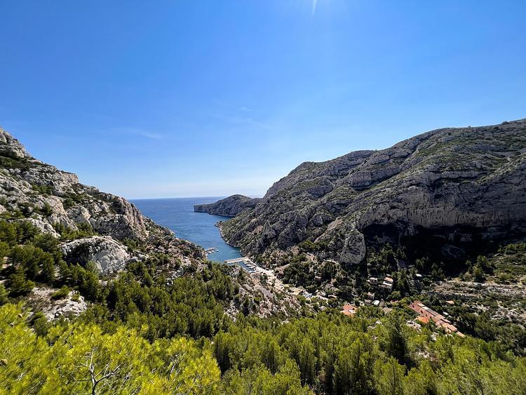
This hiking trail covers 1.803mi starting from Aubagne, Bouches-du-Rhône. The hike is a loop trail and returns to the trailhead. This hike is rated as moderate, plan for about 1h27m to complete it. The route has an elevation gain of 427ft and an elevation loss of 427ft.
Balade créative Pagnol
Route details
1.24mph
Speed
655 kcal
Calories burned
9.0%
Avg grade
Loop trail
Route type
679ft
Min altitude
1017ft
Max altitude
Steep climb
Route profile
427ft
Elevation gain
427ft
Elevation loss
679ft
Min altitude
1017ft
Max altitude
How to get there
Trailhead: 875 Chemin De La Fònt De Mai, 13400 Aubagne, France
GPS coordinates of the trailhead: 43.312519, 5.546656 / 43°18'45'' N, 5°32'47'' E