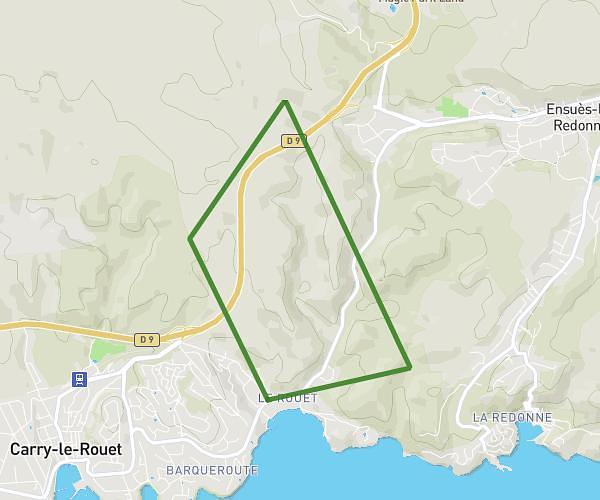
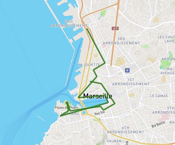
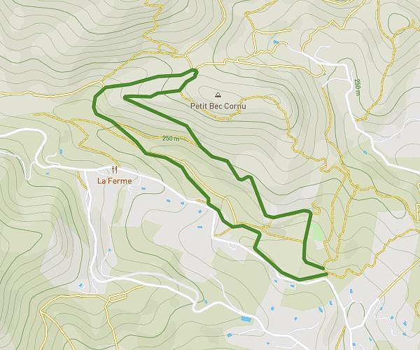
This hiking trail covers 4.893mi starting from Marseille, Bouches-du-Rhône. The hike is a loop trail and returns to the trailhead. This hike is rated as hard, plan for about 2h23m to complete it. The route has an elevation gain of 1624ft and an elevation loss of 1627ft.
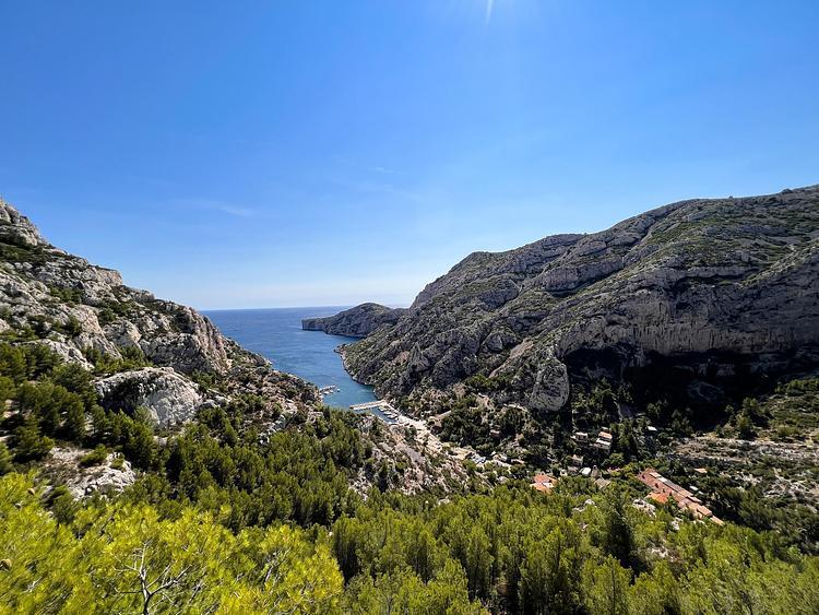
Col de cortiou
Route details
2.05mph
Speed
1106 kcal
Calories burned
12.6%
Avg grade
Loop trail
Route type
236ft
Min altitude
1257ft
Max altitude
Steep climb
Route profile
1624ft
Elevation gain
1627ft
Elevation loss
236ft
Min altitude
1257ft
Max altitude
How to get there
Trailhead: 7 Boulevard Louis Pierotti, 13009 Marseille, France
GPS coordinates of the trailhead: 43.231789, 5.400087 / 43°13'54'' N, 5°24'0'' E