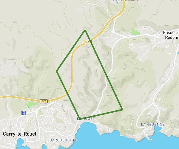
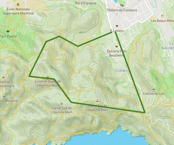
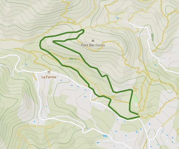
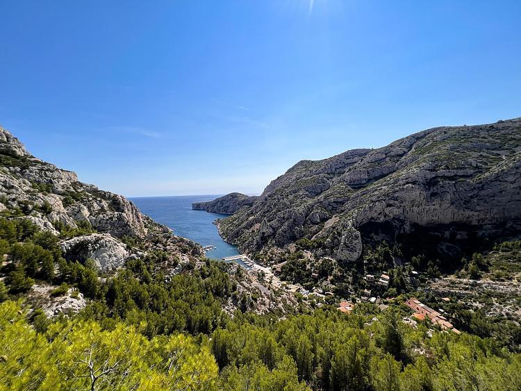
This hiking trail covers 6.092mi starting from Le Rove, Bouches-du-Rhône. The hike does not return to the trailhead and ends near Chemin Des Eaux Salées, 13620 Ensuès-la-Redonne. This hike is rated as hard, plan for about 3h15m to complete it. The route has an elevation gain of 1194ft and an elevation loss of 1312ft.
Niolon - chemin douanier - calanque eau salées
Route details
1.88mph
Speed
1449 kcal
Calories burned
7.8%
Avg grade
Point to point
Route type
10ft
Min altitude
230ft
Max altitude
Route profile
1194ft
Elevation gain
1312ft
Elevation loss
10ft
Min altitude
230ft
Max altitude
How to get there
Trailhead: Route Niolon, 13740 Le Rove
GPS coordinates of the trailhead: 43.34087, 5.25757 / 43°20'27'' N, 5°15'27'' E