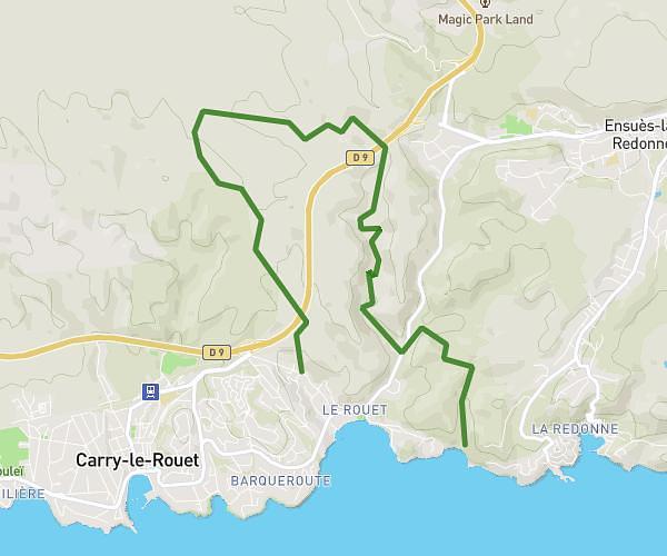
Explore this hiking route of 9.8km starting from Le Rove, Bouches-du-Rhône. The hike does not return to the starting point and ends near Chemin Des Eaux Salées, 13620 Ensuès-la-Redonne. This hike has no defined difficulty level, plan for about 3h15m to complete it. The route has a positive elevation gain of 364m and a negative elevation loss of 400m.
Niolon - chemin douanier - calanque eau salées
Route details
Route profile
364m
Elevation +
400m
Elevation -
3m
Min altitude
70m
Max altitude
How to get there
Route starting point: Route Niolon, 13740 Le Rove
GPS coordinates of the starting point: 43.34087, 5.25757 / 43°20'27'' N, 5°15'27'' E
Calculate the time to reach the starting point from your location or an address