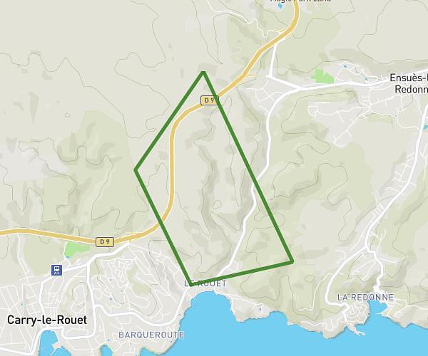
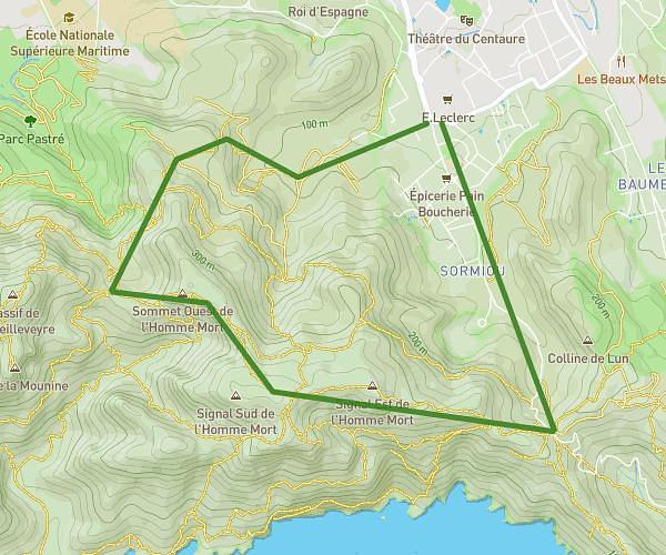
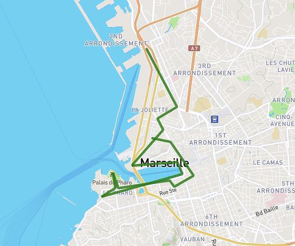
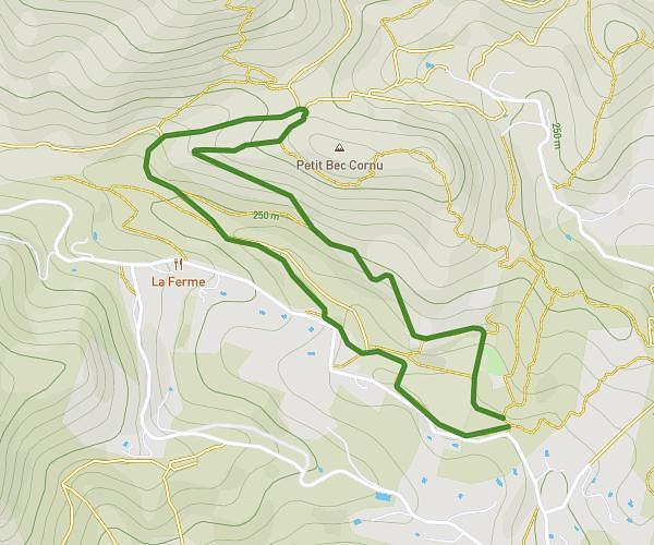
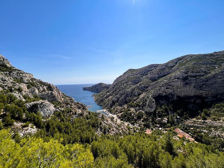
This hiking trail covers 6.941mi starting from Marseille, Bouches-du-Rhône. The hike is a loop trail and returns to the trailhead. This hike is rated as hard, plan for about 2h57m to complete it. The route has an elevation gain of 1522ft and an elevation loss of 1526ft.
rando 2
Route details
2.35mph
Speed
1325 kcal
Calories burned
8.3%
Avg grade
Loop trail
Route type
33ft
Min altitude
843ft
Max altitude
Steep climb
Route profile
1522ft
Elevation gain
1526ft
Elevation loss
33ft
Min altitude
843ft
Max altitude
How to get there
Trailhead: Route De La Gardiole, 13009 Marseille
GPS coordinates of the trailhead: 43.22737, 5.50409 / 43°13'38'' N, 5°30'14'' E