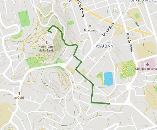
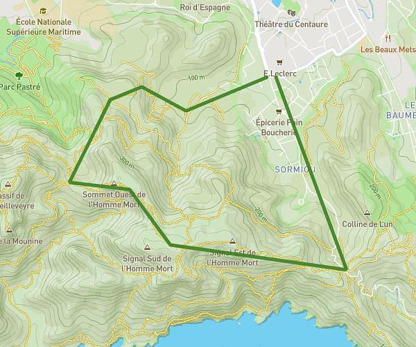
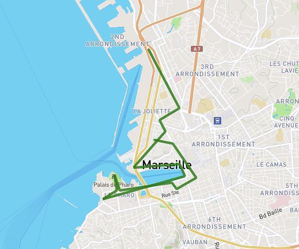
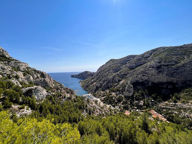
This hiking trail covers 10.28mi starting from Marseille, Bouches-du-Rhône. The hike does not return to the trailhead and ends near Avenue De Luminy, 13009 Marseille. This hike is rated as strenuous, plan for about 4h8m to complete it. The route has an elevation gain of 2677ft and an elevation loss of 2211ft.
rando 1
Route details
2.49mph
Speed
1880 kcal
Calories burned
9.0%
Avg grade
Point to point
Route type
20ft
Min altitude
781ft
Max altitude
Steep climb
Route profile
2677ft
Elevation gain
2211ft
Elevation loss
20ft
Min altitude
781ft
Max altitude
How to get there
Trailhead: Sentier Du Club Alpin, 13008 Marseille
GPS coordinates of the trailhead: 43.21736, 5.34737 / 43°13'2'' N, 5°20'50'' E