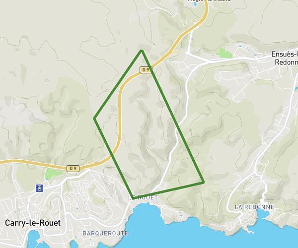
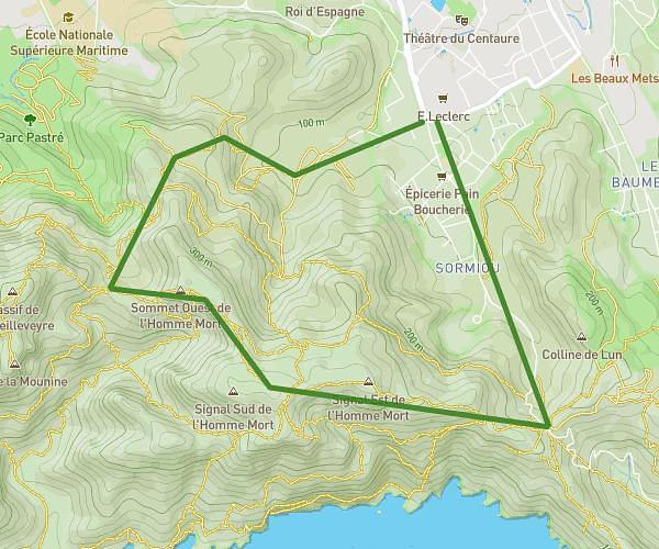
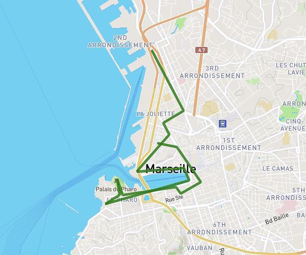
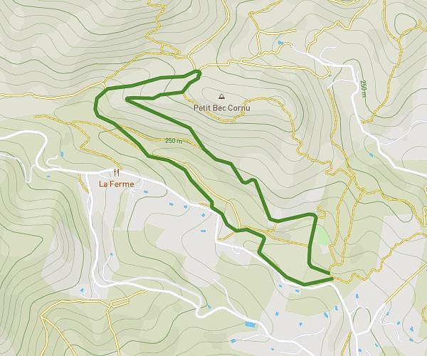
This hiking trail covers 10.574mi starting from Marignane, Bouches-du-Rhône. The hike is a loop trail and returns to the trailhead. This hike is rated as easy, plan for about 4h15m to complete it. The route has an elevation gain of 246ft and an elevation loss of 243ft.
RANDO TOUR DU BOLMON
Route details
2.49mph
Speed
1800 kcal
Calories burned
0.9%
Avg grade
Loop trail
Route type
-7ft
Min altitude
66ft
Max altitude
Route profile
246ft
Elevation gain
243ft
Elevation loss
-7ft
Min altitude
66ft
Max altitude
How to get there
Trailhead: 9 Rue Pythagore, 13700 Marignane, France
GPS coordinates of the trailhead: 43.40849, 5.20608 / 43°24'30'' N, 5°12'21'' E