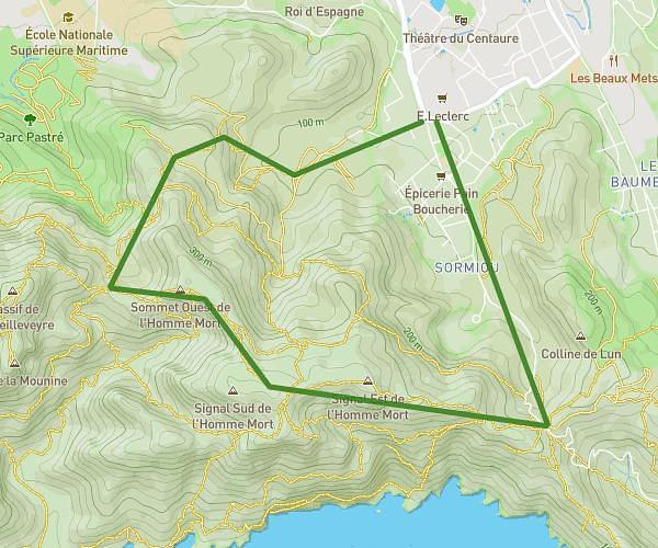
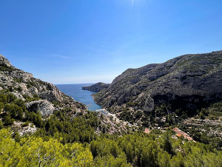
This hiking trail covers 6.413mi starting from Les Pennes-Mirabeau, Bouches-du-Rhône. The hike is a loop trail and returns to the trailhead. This hike is rated as moderate, plan for about 2h to complete it. The route has an elevation gain of 584ft and an elevation loss of 571ft.
Cadière/Marthe 13170
Route details
3.21mph
Speed
864 kcal
Calories burned
3.4%
Avg grade
Loop trail
Route type
243ft
Min altitude
738ft
Max altitude
Route profile
584ft
Elevation gain
571ft
Elevation loss
243ft
Min altitude
738ft
Max altitude
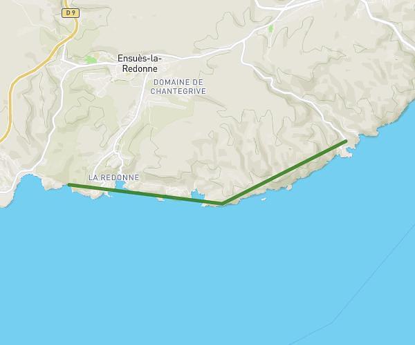
How to get there
Trailhead: 135 Chemin De Marthe, 13170 Les Pennes-Mirabeau, France
GPS coordinates of the trailhead: 43.412337, 5.304242 / 43°24'44'' N, 5°18'15'' E